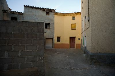
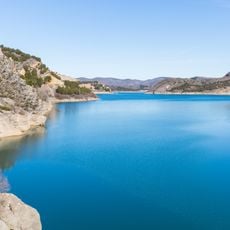
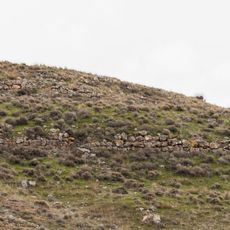
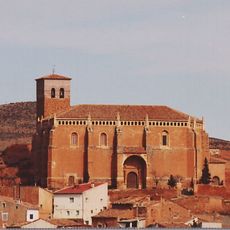
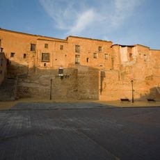
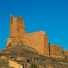
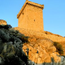
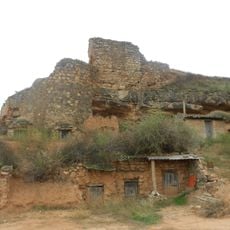
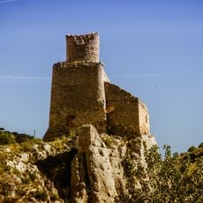
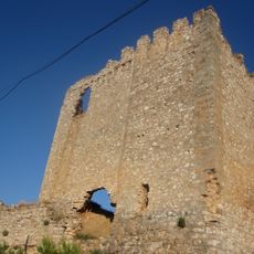
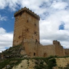
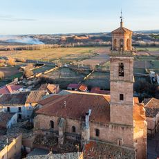
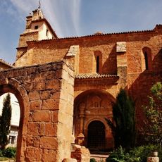
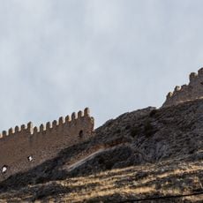
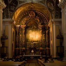
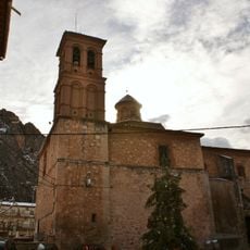
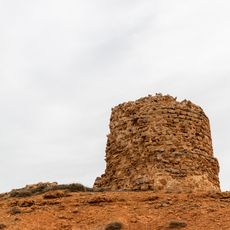
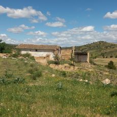
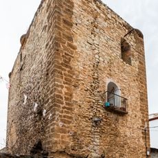
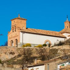
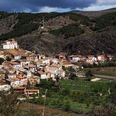
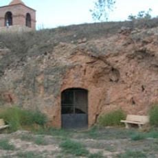
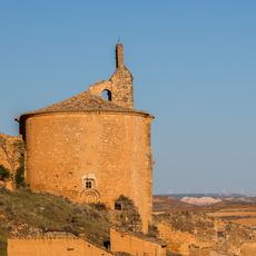
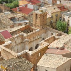
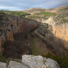
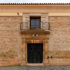
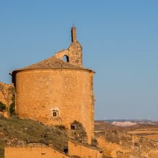
Cetina, municipality in Zaragoza, Spain
Location: Zaragoza Province
Capital city: Cetina
Elevation above the sea: 666 m
Shares border with: Sisamón, Cabolafuente, Ariza, Embid de Ariza, Alhama de Aragón, Contamina, Jaraba
Website: http://cetina.es
GPS coordinates: 41.29162,-1.96179
Latest update: March 6, 2025 09:50
Reservoir of La Tranquera
13.9 km
Arcobriga
14.8 km
Iglesia de San Miguel Arcángel
13.4 km
Castillo palacio de Cetina
156 m
Castle of Monreal de Ariza
11.9 km
Castillo de Alhama de Aragón
5.4 km
Castillo de Ariza
8.1 km
Castle of Embid de Ariza
10.2 km
Castillo de Sisamón
13.9 km
Torre-castillo de los Señores
8.5 km
Castle of Bubierca
9.3 km
Iglesia de la Asunción de Nuestra Señora
8 km
Iglesia Nuestra Señora de la Leche
16.7 km
Castillo de Cihuela
13.1 km
Church of San Juan Bautista, Cetina
323 m
Iglesia de la Natividad de la Santísima Virgen
5.6 km
Castle in Torrehermosa
15.1 km
Hermitage of Saint Roch
14.1 km
Castle of Calmarza
15.5 km
Ermita de Nuestra Señora del Cerro
12.9 km
Riberas del Jalón (Bubierca-Ateca)
12.2 km
Gruta de la Virgen de la Soledad
14 km
Iglesia de Nuestra Señora de la Asunción
12 km
Iglesia de San Pedro
8.2 km
Hoces del Río Mesa
13.6 km
Casa palacio del marqués de Ariza
8.1 km
Termas Pallarés
5.3 km
Iglesia de la Asunción, Monreal de Ariza
12 kmReviews
Visited this place? Tap the stars to rate it and share your experience / photos with the community! Try now! You can cancel it anytime.
Discover hidden gems everywhere you go!
From secret cafés to breathtaking viewpoints, skip the crowded tourist spots and find places that match your style. Our app makes it easy with voice search, smart filtering, route optimization, and insider tips from travelers worldwide. Download now for the complete mobile experience.
A unique approach to discovering new places❞
— Le Figaro
All the places worth exploring❞
— France Info
A tailor-made excursion in just a few clicks❞
— 20 Minutes