Zaragoza Province, Administrative province in northeastern Aragon, Spain
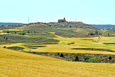
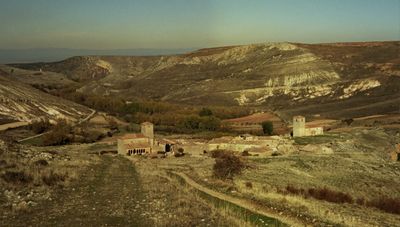
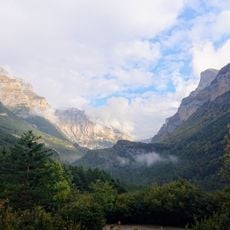
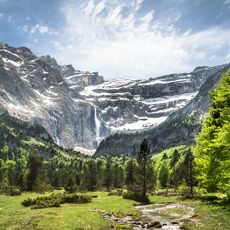
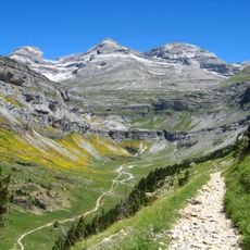
Zaragoza Province is an administrative unit in northeastern Spain that covers wide plains, river valleys along the Ebro, and mountain ridges. The area extends from the central lowlands to the foothills of the Sistema Ibérico in the south and west.
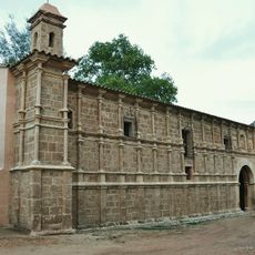
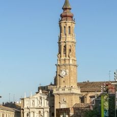
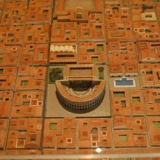
The area became a province in 1835 after the Spanish government dissolved the old Kingdom of Aragon. Before that, the region belonged to different lordships stretching back to the Roman settlement of Caesaraugusta.
Villages and towns across the area keep old Aragonese customs alive through church festivals and regional dishes. In the east, close to the Catalan border, you sometimes hear Catalan words in conversation and on street signs.
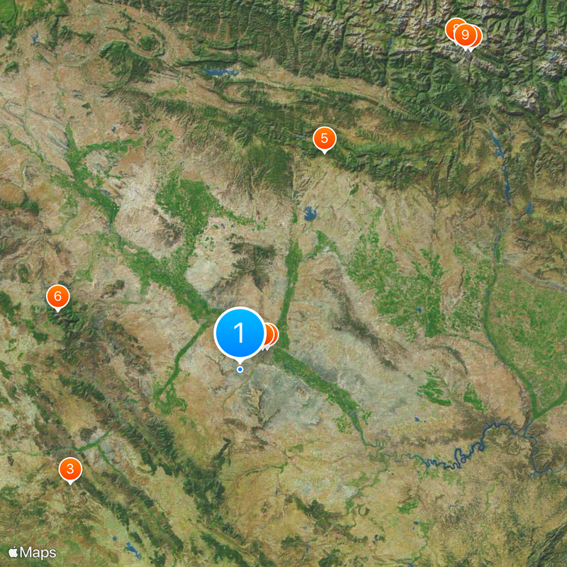
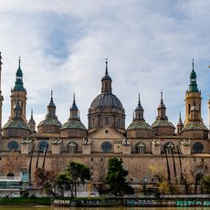
Most visitors reach the area through Zaragoza city, where roads branch out in all directions. Those exploring small villages and mountain trails should rent a car or check for local bus connections.
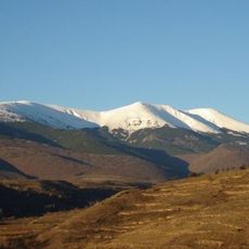
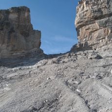
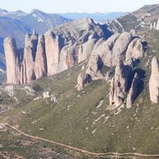
The area holds Mount Moncayo, rising over 7500 feet (2300 meters) as the tallest peak in the Sistema Ibérico and standing out sharply against surrounding hills. From its rocky ridge, you can see both the Pyrenees to the north and the Castilian plateau to the south on clear days.
The community of curious travelers
AroundUs brings together thousands of curated places, local tips, and hidden gems, enriched daily by 60,000 contributors worldwide.