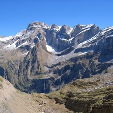
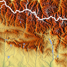
Monte Perdido, Limestone summit in Ordesa y Monte Perdido National Park, Spain
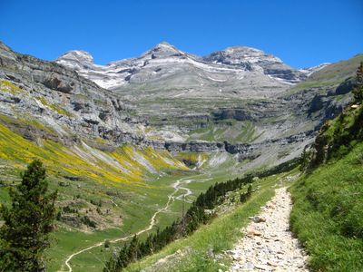
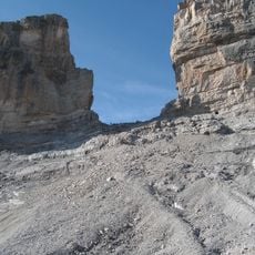
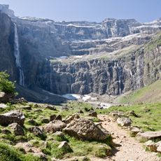
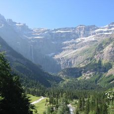
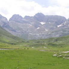
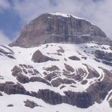
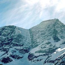
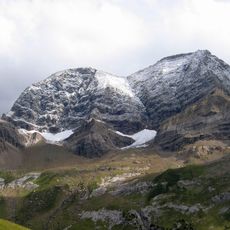
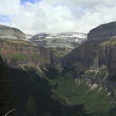
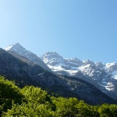
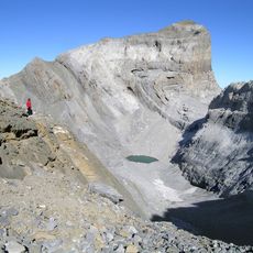
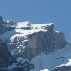
Monte Perdido is the third highest peak in the Pyrenees, rising to 3,355 meters and featuring steep limestone cliffs that reach up to 800 meters in height. The mountain's vertical rock faces dominate the landscape of the national park, creating a dramatic wall of stone visible from many vantage points throughout the region.
The mountain gained protection when Ordesa y Monte Perdido National Park was established in 1918 as a conservation effort. The park's boundaries were significantly expanded in 1982, after local groups successfully prevented a dam project that would have altered the mountain and valley.
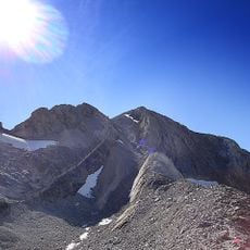
The mountain's name translates to 'Lost Mountain' in Spanish, referring to how its summit remains hidden from view when approached from the French side. Visitors from that direction find the peak concealed behind other prominent summits, which explains the local name and how people in the region perceive this mountain.
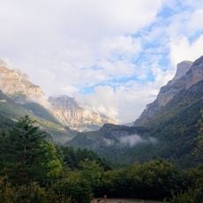
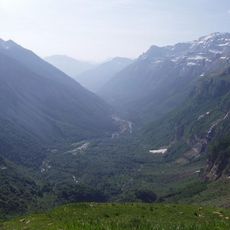
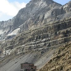
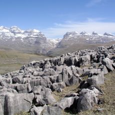
Visitors typically reach the mountain by starting from Torla village and following trails through Ordesa Valley, gaining elevation gradually along established paths. The Góriz Refuge serves as a practical stopping point where most climbers rest before making the final push to the summit, making it essential to plan an early start.
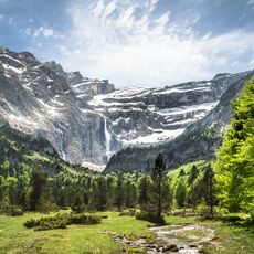
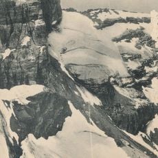
A substantial glacier sits on the northern face of the mountain, having shrunk noticeably since the 1980s due to warming temperatures. Climbers who reach the upper sections can observe firsthand how climate change is reshaping the landscape of these high peaks.
The community of curious travelers
AroundUs brings together thousands of curated places, local tips, and hidden gems, enriched daily by 60,000 contributors worldwide.