Monte Perdido Massif, Mountain range and UNESCO World Heritage Site in Pyrenees, Spain and France
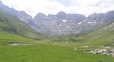
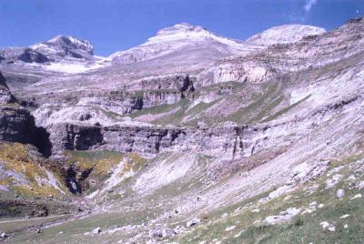
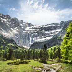
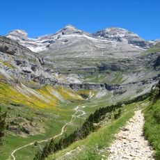
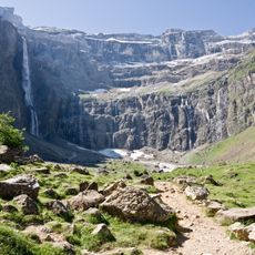
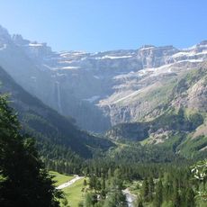
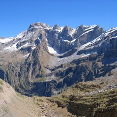
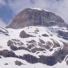
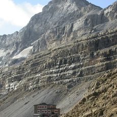
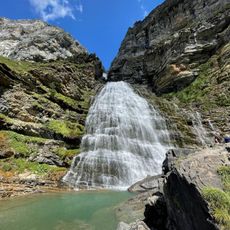
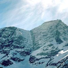
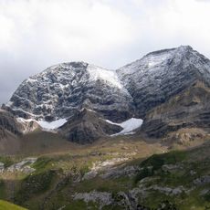
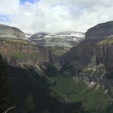
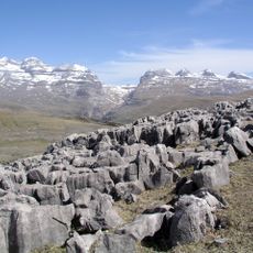
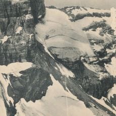
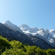
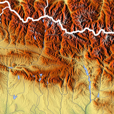
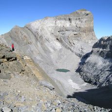
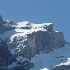
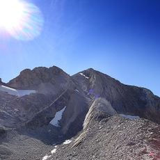
Monte Perdido Massif is a mountain range straddling Spain and France, reaching 3,355 meters and forming the third highest peak in the Pyrenees. Sedimentary rock creates deep valleys and dramatic canyon formations throughout the landscape.
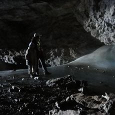
Early human settlements in the Paleolithic era left behind stone structures and megalithic monuments scattered throughout the area. These remnants reveal that this region has been a crossroads between the two sides of the Pyrenees for thousands of years.
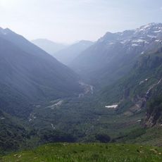
Shepherds have shaped this land for centuries by moving their flocks between Spanish and French slopes with the seasons. This traditional practice remains visible today in the open pastures and mountain paths that crisscross the massif.
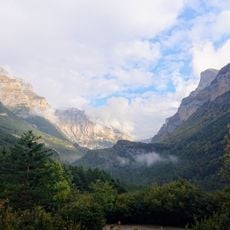
The massif can be reached through several main entry points, with the Ordesa Valley on the Spanish side and the Cirque de Gavarnie on the French side providing well-developed trail systems. Planning your visit according to season and weather is essential, as conditions vary significantly throughout the year.
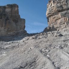
This massif sits at the collision point where the Iberian and West European tectonic plates meet, creating complex geological structures with distinctive canyons and cirque walls. This tectonic setting makes it an important location for studying mountain formation and erosion patterns.
The community of curious travelers
AroundUs brings together thousands of curated places, local tips, and hidden gems, enriched daily by 60,000 contributors worldwide.