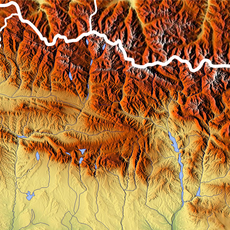
Pyrénées – Mont Perdu World Heritage Site, Mountain heritage site across French Hautes-Pyrénées and Spanish Huesca Province.
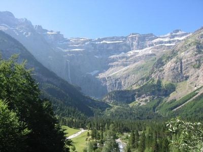
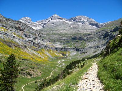
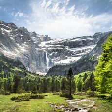
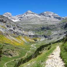
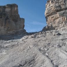
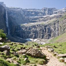
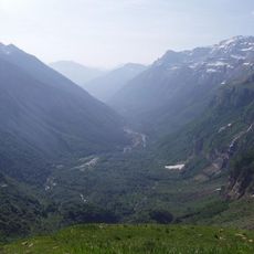
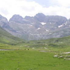
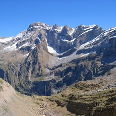
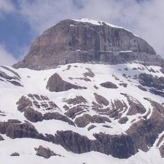
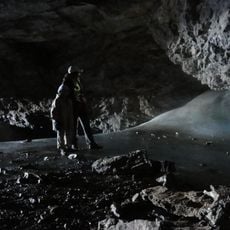
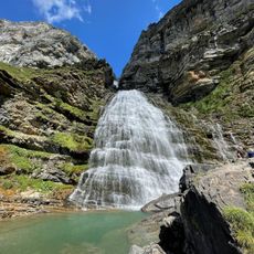
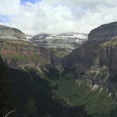
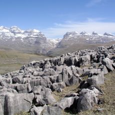
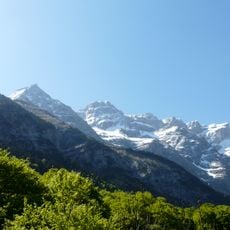
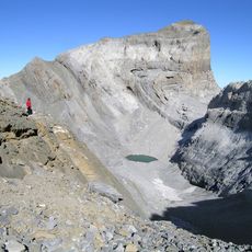
Pyrénées-Mont Perdu is a cross-border protected area covering parts of the French and Spanish Pyrenees, encompassing two national parks with canyons, cirques, forests, meadows, and caves. The French side is dominated by steep rock walls and wide valley basins, while the Spanish side is known for its deep gorges.
People lived in this mountain range as far back as the Stone Age, as shown by dolmens and stone circles still found on the slopes. Over the following centuries, communities on both sides of the Pyrenees built their lives around herding and mountain farming.
Shepherds still move their flocks between the valleys and the high pastures each season, following old paths that remain visible across the slopes today. This shared way of working the land connects communities on both sides of the border in a way that a visitor can observe firsthand.
Spring and autumn are good times to visit when the higher trails are open and the weather is more settled. Visitor centers in Torla on the Spanish side and in Gavarnie on the French side can help with route guidance and mountain safety.
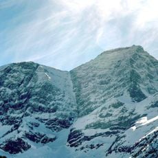
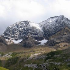
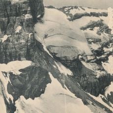
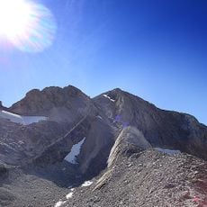
Mont Perdu, which gives the site its name, is not visible from the French side despite being the third highest peak in the Pyrenees at 11,424 feet (3,482 meters). Its name means 'lost mountain' in French, a reference to how completely it hides behind the surrounding rock walls.
The community of curious travelers
AroundUs brings together thousands of curated places, local tips, and hidden gems, enriched daily by 60,000 contributors worldwide.