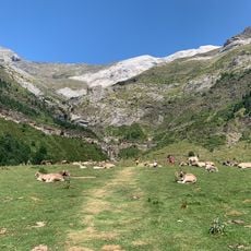
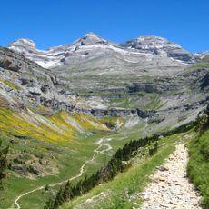
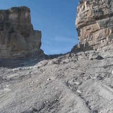
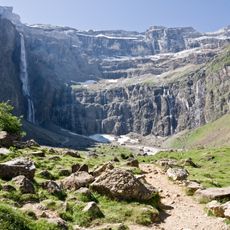
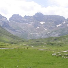
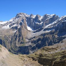
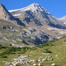
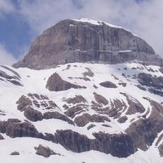
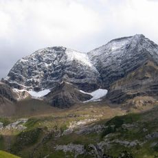
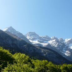
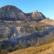
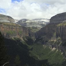
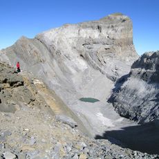
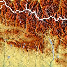
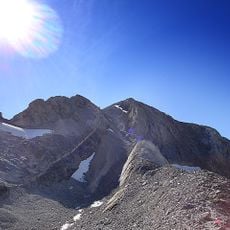
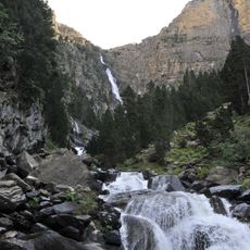
Pico Occidental de la Cascada, Mountain summit in Fanlo, Spain.
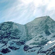
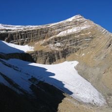
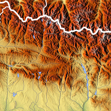
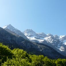
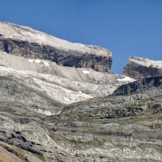
Pico Occidental de la Cascada is a 3,098 m summit on the Franco-Spanish border in the Mont Perdu massif, with a prominence of 66 m. It stands on the Gavarnie cirque rim, separating the Pyrenees national park in France from the Ordesa y Monte Perdido national park in Spain. The summit marks the watershed between the Adour basin, draining to the Atlantic, and the Ebro basin, draining to the Mediterranean.
The first recorded ascent of Punda de ra Ula was made in 1877 by Henry Russell and Célestin Passet, together with the neighbouring Repunda de ras Bruixas and Punda de ras Crepas. The summit lies on the Franco-Spanish border between the Pyrenees National Park and the Ordesa y Monte Perdido National Park, on the watershed between the Adour and Ebro basins.
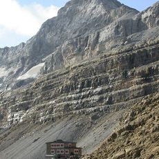
The summit marks the border between the Pyrenees National Park in France and the Ordesa and Monte Perdido National Park in Spain. Henry Russell and Célestin Passet made the first ascent in 1877, together with the Brèche de Roland and the Pic des Crepas. Today, climbers approach from the Góriz refuge at 2,100 m on the Aragonese side or the Sarradets refuge at 2,587 m on the French side.
Two approach routes exist: from the Aragonese side via the Góriz refuge at 2,100 m, and from the French side via the Sarradets refuge at 2,587 m. The summit stands at 3,098 m with a prominence of 66 m, so plan the day around the refuge you start from.
The summit sits at the point where two major water systems divide, with one flowing toward the Mediterranean and the other toward the Atlantic. This geographical split creates distinct ecosystems on each side that visitors can observe in the same location.
The community of curious travelers
AroundUs brings together thousands of curated places, local tips, and hidden gems, enriched daily by 94,104 contributors worldwide.