Pic du Taillon, Mountain summit in Monte Perdido Range, France and Spain
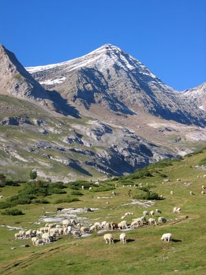
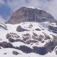
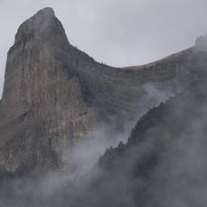
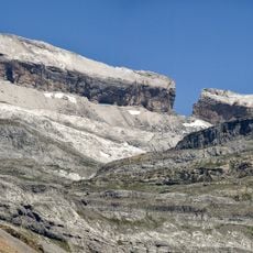
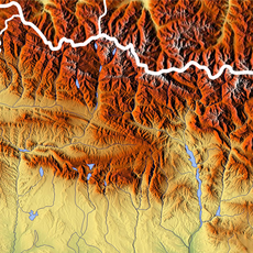
Pic du Taillon is a mountain summit in the Monte Perdido Range that rises to 3,144 meters and marks the border between France and Spain within the Pyrenees. The peak sits along the boundary and can be approached from trails on either country's side.
The first recorded ascent took place in 1792 when Captain Vicente de Heredia reached the summit. Another notable climb followed in 1895 when Henri Brulle and Célestin Passet tackled the northern face.
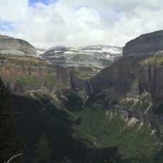
The mountain stands at the intersection of two national parks: the French Pyrenees National Park and the Spanish Ordesa y Monte Perdido National Park.
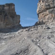
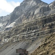
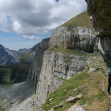
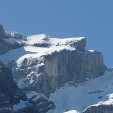
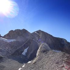
The ascent follows marked trails starting from Col des Tentes, leading toward Col de Boucharo and passing by Refuge des Sarradets. Routes are generally well-marked, but visitors should prepare for alpine conditions and changing weather.
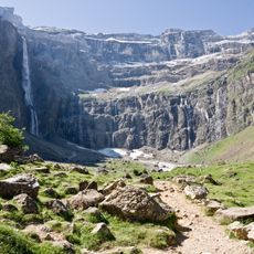
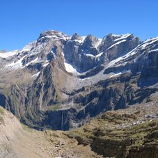
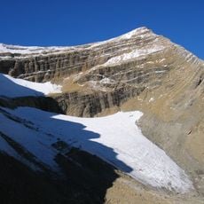
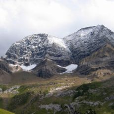
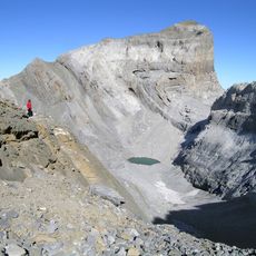
From the summit, hikers can see across four different mountain ranges: Monte Perdido, Vignemale, Néouvielle, and the distant Pic du Midi de Bigorre. This panorama makes it a remarkable vantage point for mountain photography.
The community of curious travelers
AroundUs brings together thousands of curated places, local tips, and hidden gems, enriched daily by 60,000 contributors worldwide.