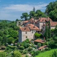
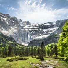
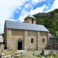
Gavarnie Falls, Waterfall in Hautes-Pyrénées, France
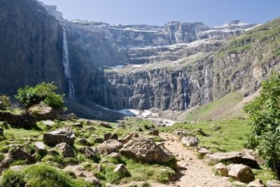
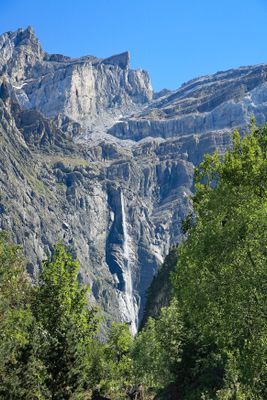
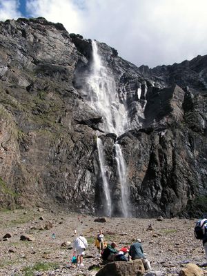
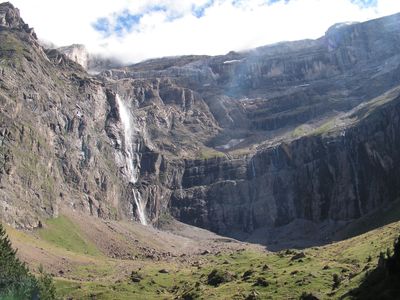
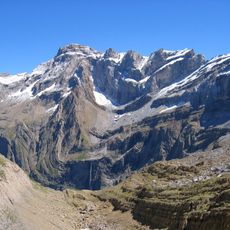
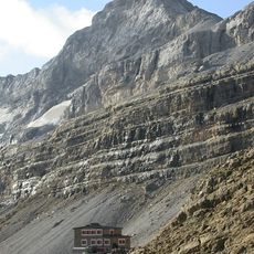
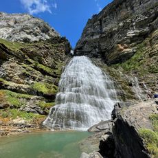
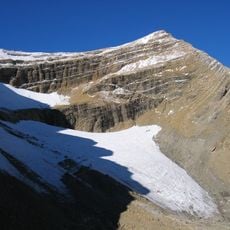
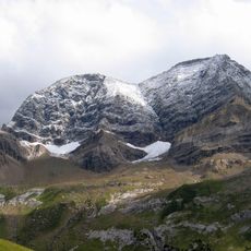
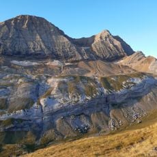
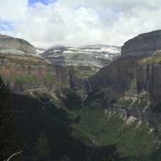
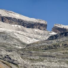
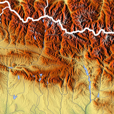
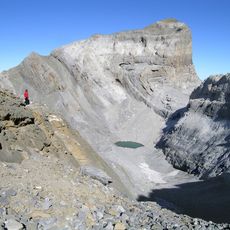
Gavarnie Falls descends in multiple stages over limestone cliffs, with the main drop reaching 281 meters and flowing into a natural basin below. The water tumbles down a sweeping rock face that forms an amphitheater shape carved by ancient glaciers.
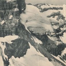
The falls were created around 20,000 years ago when glaciers carved through the mountain landscape, forming the distinctive amphitheater shape visible today. This glacial action continues to shape the rocks and the path of the water flow.
The Falls became part of the Pyrenees National Park in 1967 and received UNESCO World Heritage recognition for its geological and natural significance in 1997.
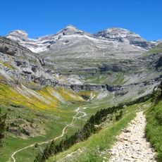
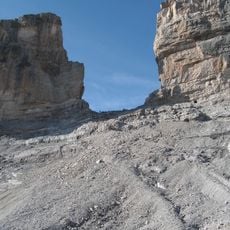
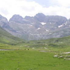
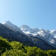
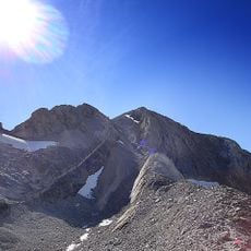
You can reach the falls via a marked trail from Gavarnie village that follows well-maintained paths through the landscape. Trail conditions vary by season, with snow possible in winter and muddy stretches after rain, so proper footwear is advisable.
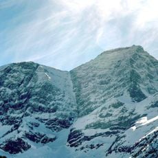
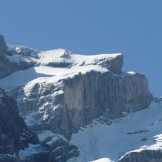
During winter the water can freeze solid, transforming the cascades into an ice sculpture across the rock face. In summer the opposite happens as snowmelt swells the flow dramatically, creating a thunderous roar that echoes through the valley.
Location: Hautes-Pyrénées
Elevation above the sea: 2,200 m
Height: 281 m
Width: 15 m
Accessibility: Wheelchair inaccessible
Part of: Gave de Pau
GPS coordinates: 42.69332,-0.00445
Latest update: December 6, 2025 16:04
Occitanie encompasses an architectural and natural heritage that reflects many centuries of history. Medieval villages are nestled in valleys and on heights, while castles and monasteries tell of the era of the Cathars and religious orders. The region also features remarkable geological formations:...
Gavarnie Cirque
409 m
Monte Perdido
3.7 km
La Brèche de Roland
2.4 km
Monte Perdido Massif
3.8 km
Pico Marboré
1.3 km
Pic du Taillon
3.8 km
Cilindro de Marboré
2.5 km
El Casco
1.9 km
Grotto of Casteret
2.5 km
Cascada Cola de Caballo
5 km
Grand Astazou
2.5 km
Église Notre-Dame-du-Bon-Port, Gavarnie
4.4 km
Taillon Glacier
2.9 km
Petit Astazou
1.8 km
Pico Central de la Cascada
928 m
Gabiétous Glacier
4.3 km
Circo de Cotatuero
4.6 km
Cascade Glacier
822 m
Punta Escaleras
3.7 km
Picos de la Cascada Oriental
1.1 km
Pointe Bazillac
2.8 km
Glacier du Col de la Cascade
830 m
Pico Occidental de la Cascada
927 m
Ouest du Marboré Glacier
1.1 km
Pitón SW del Cilindro
2.5 km
Épaule Glacier
745 m
Baudrimont NW
4.7 km
Dedo del Monte Perdido
3.3 kmVisited this place? Tap the stars to rate it and share your experience / photos with the community! Try now! You can cancel it anytime.
Discover hidden gems everywhere you go!
From secret cafés to breathtaking viewpoints, skip the crowded tourist spots and find places that match your style. Our app makes it easy with voice search, smart filtering, route optimization, and insider tips from travelers worldwide. Download now for the complete mobile experience.
A unique approach to discovering new places❞
— Le Figaro
All the places worth exploring❞
— France Info
A tailor-made excursion in just a few clicks❞
— 20 Minutes