Pic de Marboré, Mountain summit in Ordesa y Monte Perdido National Park, Spain
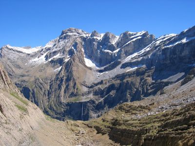
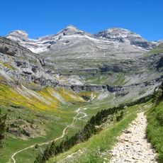
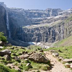
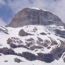
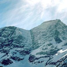
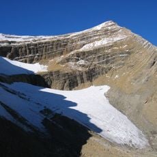
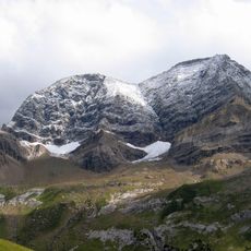
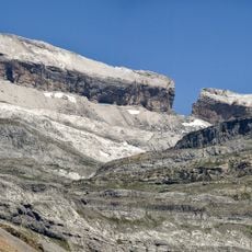
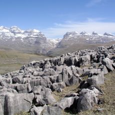
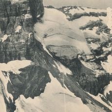
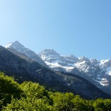
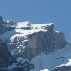
Pico Marboré is a mountain summit in the Pyrenees, sitting on the border between Spain and France and forming part of Ordesa y Monte Perdido National Park on the Spanish side. It belongs to a ridge connecting Monte Perdido and the Cylindre de Marboré, with steep limestone faces dropping on both sides.
The summit was first climbed in 1865 by Henry Russell and Hippolyte Passet, during a period when mountaineers from across Europe were systematically exploring the central Pyrenees. Their ascent helped put this part of the range on the map for future climbers.
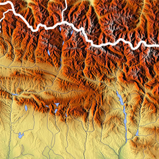
Pico Marboré sits directly on the border, making it part of two countries and two protected areas at once. Reaching the top means standing with one foot in Spain and the other in France.
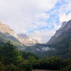
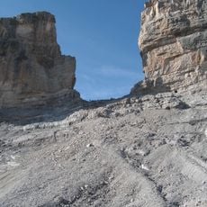
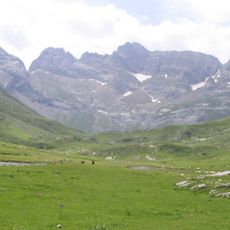
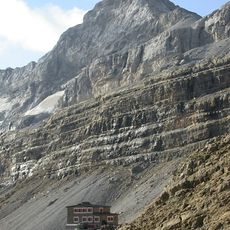
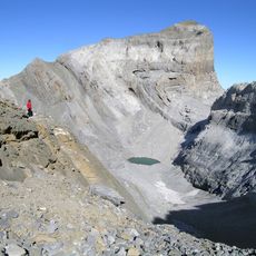
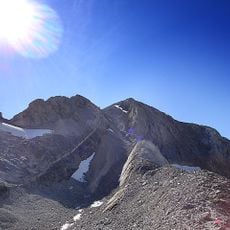
Reaching the summit requires alpine experience and proper climbing gear, as the route involves exposed sections on limestone. Most climbers set off from Refuge de Goriz on the Spanish side and plan an early start to take advantage of stable morning conditions.
Pico Marboré stands next to the Cylindre de Marboré, a near-vertical tower that many climbers consider harder than the main summit itself. The two tops are close enough that climbers often tackle both in a single day.
The community of curious travelers
AroundUs brings together thousands of curated places, local tips, and hidden gems, enriched daily by 60,000 contributors worldwide.