Torla-Ordesa, municipality of Spain
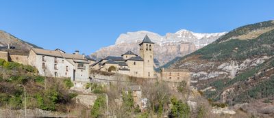
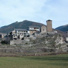
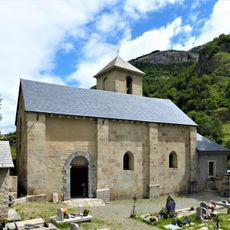
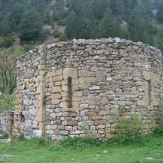
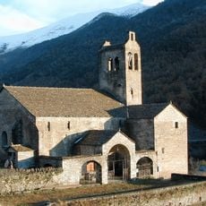
Torla-Ordesa is a municipality in Huesca Province, in the Spanish Pyrenees, positioned at the main entrance to Ordesa y Monte Perdido National Park. Its historic core is made up of stone houses arranged along steep, narrow streets, with the Church of San Salvador standing above the rooftops on a rocky rise.
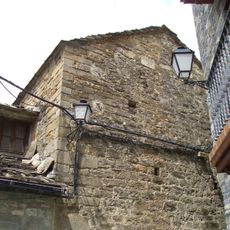
The settlement grew in the Middle Ages as a mountain village and became home to noble families whose heraldic shields are still carved into the house facades. The Church of San Salvador was built in the 1500s and reflects the religious role the community played in the region at that time.
The stone facades of the old houses carry carved heraldic shields that mark the families who once lived there, and these details are easy to spot as you walk the lanes. The village still feels lived-in, with locals going about their day among centuries-old walls and cobbled streets.
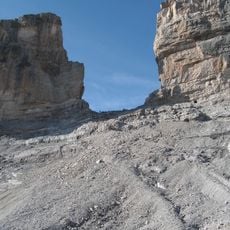
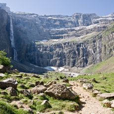
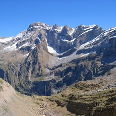
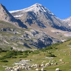
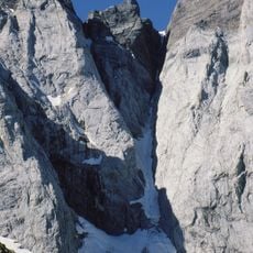
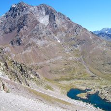
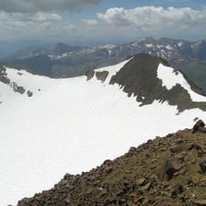
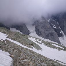
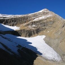
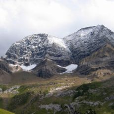
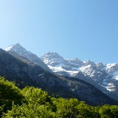
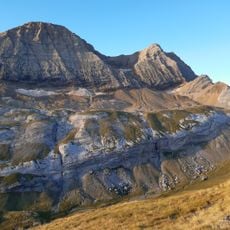
The village is the natural starting point for walks into the national park, with trails leading directly from the village edge. Sturdy footwear is a good idea not only for the park paths but also for the steep cobbled lanes in the old center, which can be slippery.
The houses here are topped by cone-shaped chimneys that, according to local tradition, were built to keep evil spirits away. This style is rarely seen in other villages across the Pyrenees, making the roofline here easy to recognize from a distance.
The community of curious travelers
AroundUs brings together thousands of curated places, local tips, and hidden gems, enriched daily by 60,000 contributors worldwide.