Pic central, Mountain summit in Hautes-Pyrénées, France
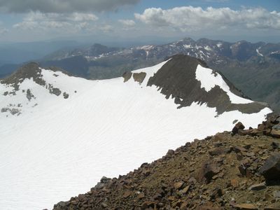
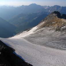
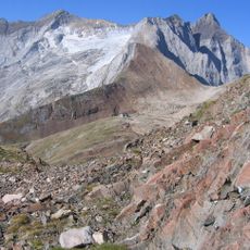
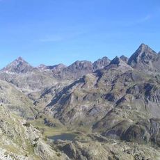
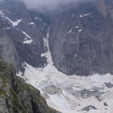
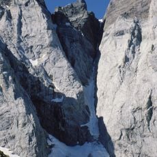
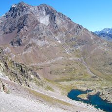
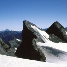
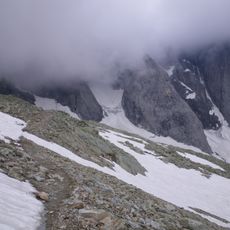
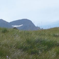
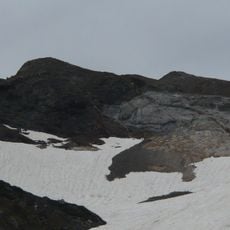
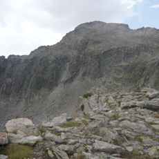
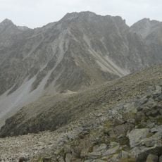
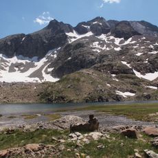
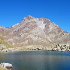
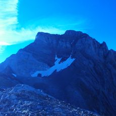
Pic Central is a mountain summit in the Vignemale massif that rises to 3,235 meters and forms a natural border between France and Spain. The peak sits within a dramatic alpine landscape surrounded by other high mountains, glaciers, and steep valleys.
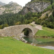
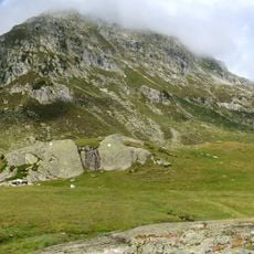
For centuries, shepherds from both France and Spain moved through these mountains with their flocks, creating established pathways across the alpine terrain. Over time, these traditional routes became part of climbing expeditions as mountaineering developed in the region.
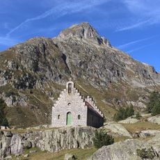
The peak holds a place in Pyrenean mountaineering tradition, drawing climbers who are drawn to its technical routes and alpine environment. Local communities on both sides of the border have long recognized this summit as an important landmark in their mountain culture.
Climbing this summit requires alpine mountaineering experience and proper equipment such as ice axes and crampons for glacier travel. Access is best from the Ossoue Glacier route, which is typically safer and more accessible during summer months.
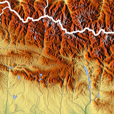
From the summit, visitors can see across two major protected areas at once: the French Pyrenees National Park and the Spanish Ordesa-Viñamala Biosphere Reserve. This vantage point makes it a special location to observe the landscape of both nations in a single view.
The community of curious travelers
AroundUs brings together thousands of curated places, local tips, and hidden gems, enriched daily by 60,000 contributors worldwide.