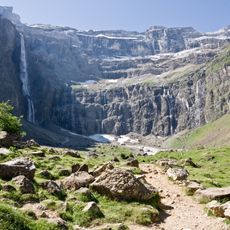
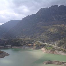
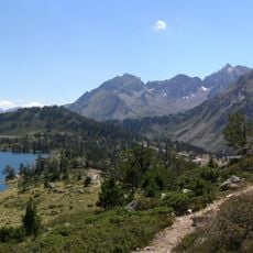
Pyrénées National Park, National park in Hautes-Pyrénées and Pyrénées-Atlantiques, France
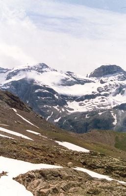
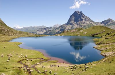
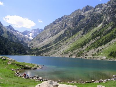
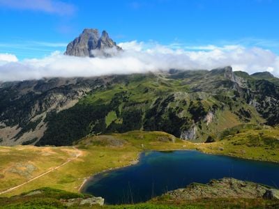
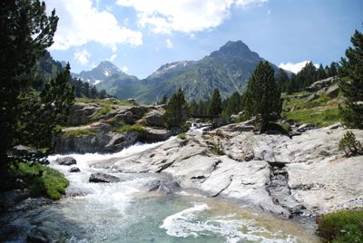
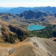
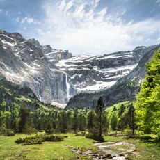
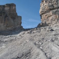
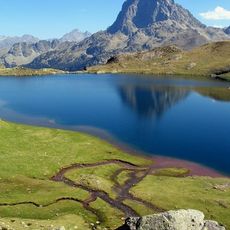
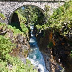
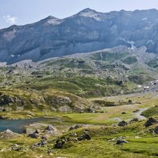
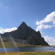
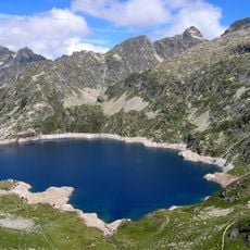
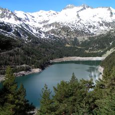
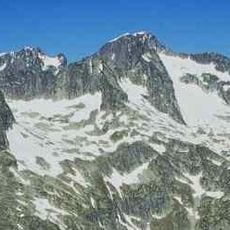
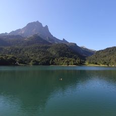
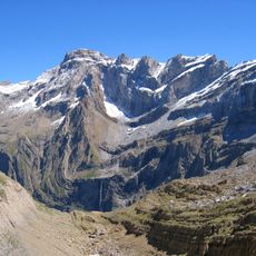
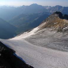
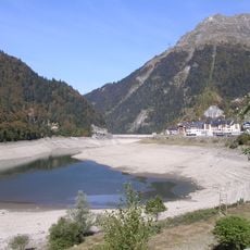
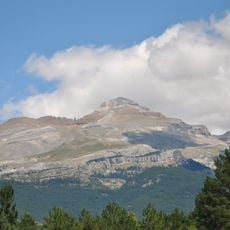
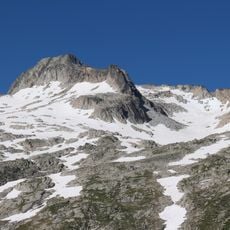
Pyrénées National Park stretches along the Spanish border through six valleys with elevations ranging from 1,000 to 3,298 meters. The territory features approximately 350 kilometers of marked trails and around 300 mountain lakes for exploration.
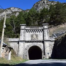
The French government established this national park in 1967 as a protected area spanning 45,700 hectares of mountain terrain. This creation marked an important step in protecting the mountain's ecosystems and valleys as a cohesive reserve.
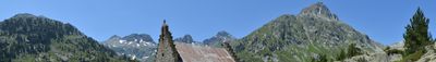
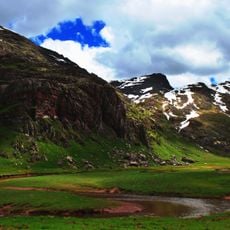
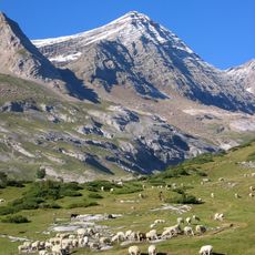
Shepherds bring their flocks to mountain pastures each summer, a tradition that still shapes how the park's high valleys are used and maintained. You can see this pastoral way of life everywhere through old herding paths and carefully managed grasslands that form part of the landscape.
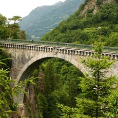
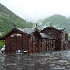
Most trails are well marked, but it helps to carry a map or guide from one of the eight visitor centers or three seasonal information points. Mountain conditions can shift quickly, so bringing weather-appropriate gear and sturdy footwear is advisable for any visit.
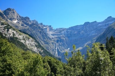
The area shelters rare species like the Pyrenean chamois, bearded vulture, and Pyrenean desman. These animals are found nowhere else in Europe, making the park a special place for anyone interested in wildlife.
The community of curious travelers
AroundUs brings together thousands of curated places, local tips, and hidden gems, enriched daily by 60,000 contributors worldwide.