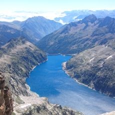
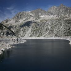
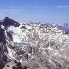
Lac d'Aumar, Mountain reservoir in Hautes-Pyrénées, France
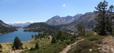
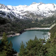
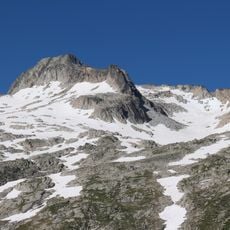
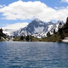
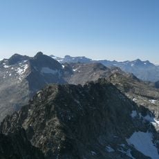
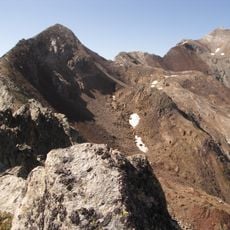
Lac d'Aumar is a mountain reservoir nestled in the Pyrenees at about 2,200 meters elevation. The water body covers roughly 25 hectares and creates a natural focal point in this high-altitude landscape.
The reservoir was built in 1901 to store water and support power generation in the region. This project was part of a broader effort to develop hydroelectric resources in the southern Pyrenees.
The lake represents a significant element of French alpine engineering, managed by EDF to support regional power generation and water resource distribution.
Visitors can reach the lake via the D929 road from Saint-Lary-Soulan with direct vehicle access available during most of the year. The best time to visit is from May through October when the high-altitude area is most accessible.
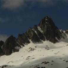
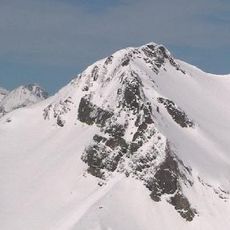
The water freezes solid during winter months, transforming the surface into an icy landscape. This seasonal change is one of the defining features of life at this altitude.
The community of curious travelers
AroundUs brings together thousands of curated places, local tips, and hidden gems, enriched daily by 60,000 contributors worldwide.