Pic Badet, Mountain summit in Hautes-Pyrénées, France
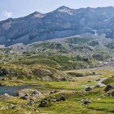
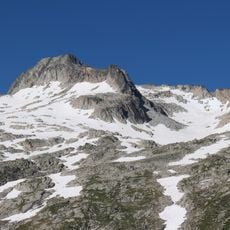
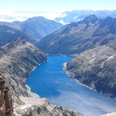
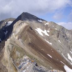
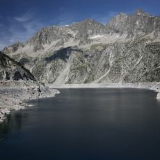
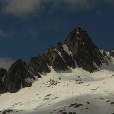
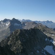
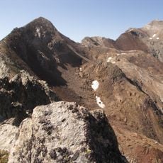
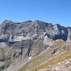
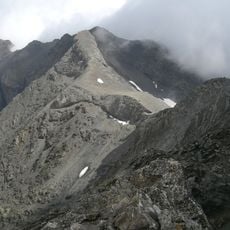
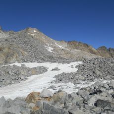
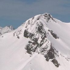
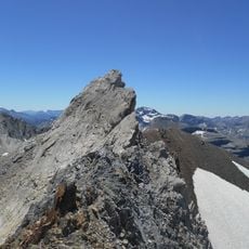
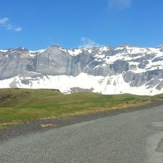
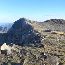
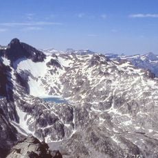
Pic Badet is a grey rock summit with a pointed peak in the Néouvielle massif, Hautes-Pyrénées, on the French-Spanish border. Its upper slopes are bare crags and ridges, snow lies across the middle slopes, and wide fields of loose scree cover the lower flanks. The summit marks the watershed between the Adour and Garonne basins.
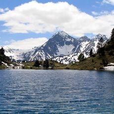
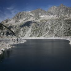
Pic Badet lies on the French-Spanish border, where the summit separates the Adour basin, draining west to the Atlantic, from the Garonne basin to the east. The name Badet, meaning "small valley", is also used for the nearby lake of Badet. The normal route from the Cap de Long dam follows the Maou-Badet ridge, graded PD- for moderate climbing.
The name Badet comes from a local term meaning "small valley", the same root used for the nearby Lac de Badet. The peak sits on the watershed line dividing the Adour basin, draining west to the Atlantic, from the Garonne basin to the east. Its normal route, the Maou-Badet ridge from the Cap de Long dam, is graded PD- for moderate climbing.
Access to this peak starts from the Cap de Long dam, following marked hiking trails with sections of moderate climbing. The round trip takes roughly 7 to 8 hours, so bring plenty of water and weather-resistant clothing.
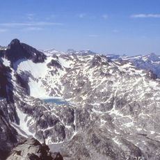
On clear days, the summit offers views of both the Pyrenees National Park and the Néouvielle National Nature Reserve in a single vantage point. This dual perspective makes it an exceptional observation point for the region's protected areas.
The community of curious travelers
AroundUs brings together thousands of curated places, local tips, and hidden gems, enriched daily by 93,627 contributors worldwide.