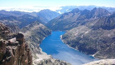
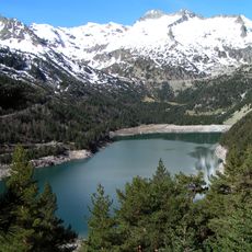
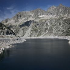
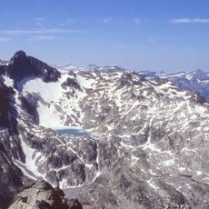
Lac de Cap-de-Long, Artificial reservoir in Hautes-Pyrénées, France.
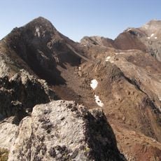
Lac de Cap-de-Long is an artificial reservoir in the French Pyrenees at roughly 2,160 meters elevation. It holds water for hydroelectric power generation and helps manage water flow and flooding in the region.
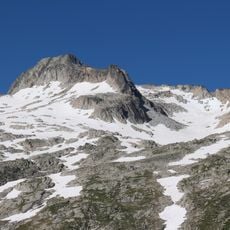
The reservoir was built during the 20th century as part of France's hydroelectric development in the mountains. Construction required specialized techniques to create a stable structure at this extreme altitude.
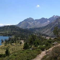
The reservoir is recognized as Remarkable Contemporary Architecture, showing how engineering fits into the Pyrenean landscape. Visitors can see how modern infrastructure and nature coexist in this high-altitude setting.
Access is usually restricted to organized groups and professionals, so check in advance about visiting options. The high elevation and harsh weather mean you need proper equipment and good fitness.
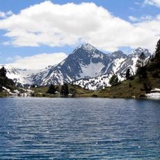
The reservoir also serves as a research site where scientists study hydrology and how water systems function at extreme altitude. Its location allows researchers to observe both natural and engineered water cycles in one of the highest populated zones in the Pyrenees.
The community of curious travelers
AroundUs brings together thousands of curated places, local tips, and hidden gems, enriched daily by 60,000 contributors worldwide.