Enable Location

We need your location to show you interesting places around you

Discover nearby places

Find interesting locations and hidden gems around you

Precise directions

Get accurate directions and distances to places

Your location is never shared with other users. It's only used when you tap the location button.

Agulla Tourrat

Log in to your account

Start exploring — it's free

Trusted by 61,911 travelers worldwide

Continue with Google
Continue with Apple
or

We will send you a code to connect

By continuing, you accept our Terms and Conditions and our Privacy Policy

Check your inbox

We've sent a pincode in your inbox. Please enter the code below.

Agulla Tourrat

Agulla Tourrat, Mountain summit in Hautes-Pyrénées, France.

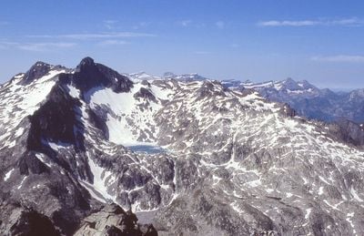
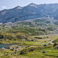
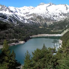
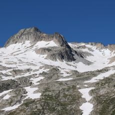
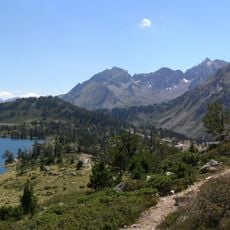
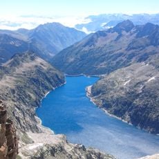
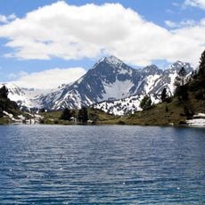
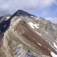
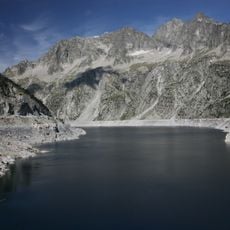
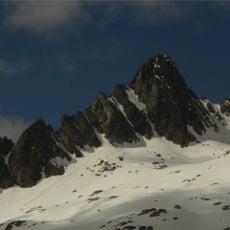
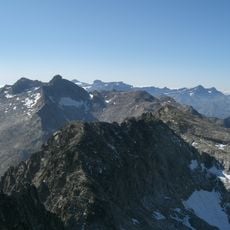
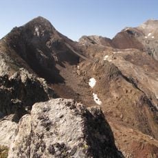
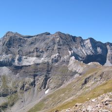
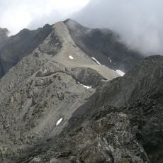
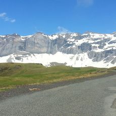
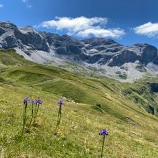
Agulla Tourrat is a mountain peak in the Néouvielle massif within the French high Pyrenees, rising to approximately 3,014 meters. The massif contains multiple summits and rock formations that shape this alpine landscape.

This peak was first documented in geographic surveys during the 19th century as French cartographers systematically mapped the high Pyrenees. Its prominence grew following the establishment of Pyrénées National Park, which opened the region for research and mountaineering.

Climbers from surrounding regions value this peak for its challenge and position within an important alpine area. Its name reflects the linguistic diversity of the Pyrenees.

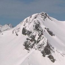
Reaching this summit requires substantial mountain experience and solid climbing skills, particularly on the steep rock sections. Visitors should wait for stable weather conditions, as strong winds and snow can quickly make the terrain impassable.

The peak holds different names across the region, reflecting its position at the intersection of three languages. Climbers know it by French, Catalan, and Basque versions of its name, highlighting its location at cultural boundaries.

The community of curious travelers

AroundUs brings together thousands of curated places, local tips, and hidden gems, enriched daily by 60,000 contributors worldwide.

Start exploring
Elevation above the sea
3,014 m
GPS coordinates
42.80593,0.10515
Latest update
December 15, 2025 13:29
« Agulla Tourrat - Mountain summit in Hautes-Pyrénées, France » is provided by Around Us (aroundus.com). Images and texts are derived from Wikimedia project under a Creative Commons license. You are allowed to copy, distribute, and modify copies of this page, under the conditions set by the license, as long as this note is clearly visible.

Discover hidden gems everywhere you go!

From secret cafés to breathtaking viewpoints, skip the crowded tourist spots and find places that match your style. Our app makes it easy with voice search, smart filtering, route optimization, and insider tips from travelers worldwide. Download now for the complete mobile experience.

Around Us App Screenshot

A unique approach to discovering new places

Le Figaro

All the places worth exploring

France Info

A tailor-made excursion in just a few clicks

20 Minutes

Around Us
Travel Guide & Maps
Download

Send to your phone

QR Code
1

Open the camera app on your mobile.

2

Point at the QR code with your camera. A notification will appear.

3

Tap the notification to open the link.