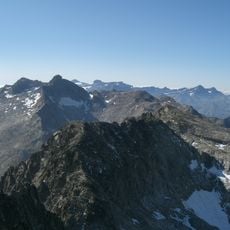
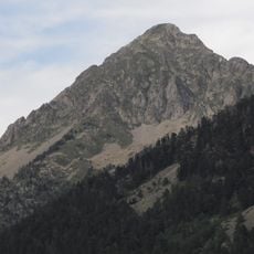
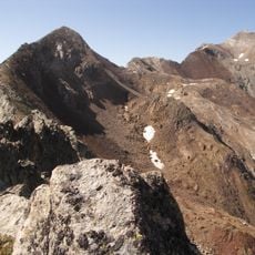
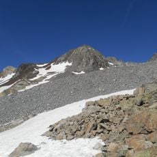
Pic de Néouvielle, Granite summit in Hautes-Pyrénées, France
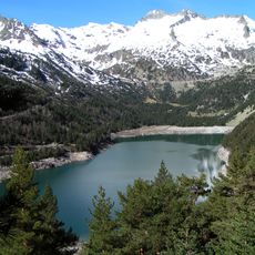
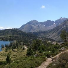
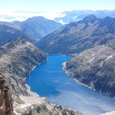
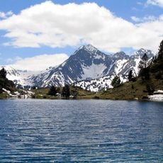
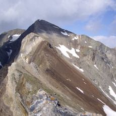
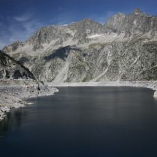
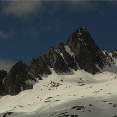
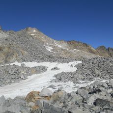
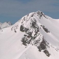
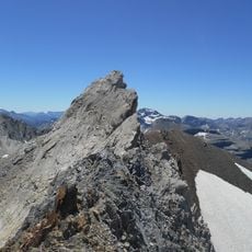
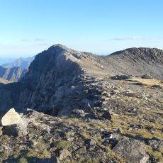
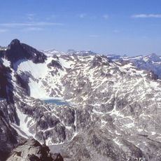
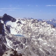
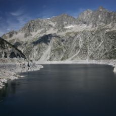
Pic de Néouvielle is a granite summit in the Hautes-Pyrénées reaching 3091 meters, with four glacier-carved bowls separated by rocky ridges. The peak overlooks the deep basin of Lake Cap-de-Long and surrounding high terrain.
Vincent de Chausenque and the Barèges guide Bastien Teinturier made the first known ascent on 10 July 1847. Chausenque approached from the Brèche de Chausenque on the east side, and the usual route today still starts from Lac d'Aubert.
The name Pic de Néouvielle comes from Occitan nèu vielha, 'old snow', referring to the snowfields and small glaciers on its north and west slopes. In the Aure Valley the peak is called la montagne d'Aubert, while Nèu Bielhe also names a high pasture area of Betpouey in the Barèges valley.
The ascent from Lake Aubert involves significant elevation gain over a considerable distance and takes several hours with proper equipment. The route is demanding and requires climbing experience, especially during snow-free conditions and when weather is stable.
The summit marks the watershed between the Adour basin to the west and the Garonne basin to the east, both draining to the Atlantic. Its north and west slopes once held three small glaciers, now almost gone, leaving only snowfields. The shapely Pic Ramougn stands on its east ridge.
The community of curious travelers
AroundUs brings together thousands of curated places, local tips, and hidden gems, enriched daily by 93,957 contributors worldwide.