Pic Ramougn, Mountain summit in Hautes-Pyrénées, France.
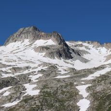
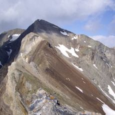
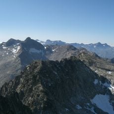
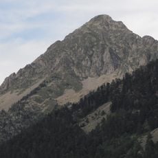
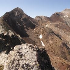
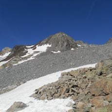
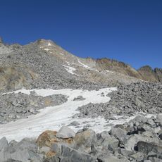
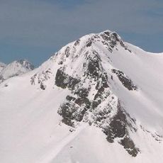
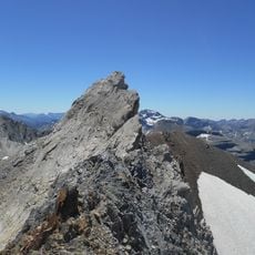
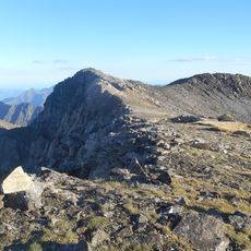
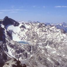
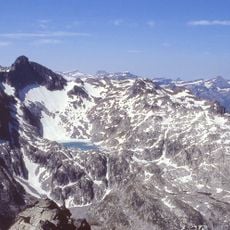
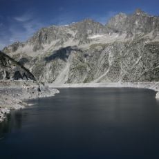
Pic Ramougn is a steep, rocky summit of the Néouvielle massif in the French Pyrenees, reaching 3,011 m in the Hautes-Pyrénées near Saint-Lary-Soulan. Its upper part is bare dark rock in brown, grey and black, fractured into steep faces and a sharp pointed top, with snow clinging in narrow streaks along the gullies and ledges. Below, a broad smooth snowfield covers the base and lower slopes, and rocky ridges to the left are partly dusted with snow. The summit belongs to a system of crests bounding former glacial cirques, in granite shaped by glaciers.
The peak was named after Louis Ramond de Carbonnières, a French politician and scientist who conducted geological research in the Pyrenees. Ramond was a key figure in exploring and mapping the region during the 19th century.
The name Ramougn comes from the local Gascon language and shows how regional speech traditions stay alive in mountain naming. This naming connects the geography with the cultural identity of the Pyrenees region.
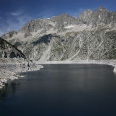
The easiest route leaves from the Cap de Long dam, following the trail up to the ridge at the Pas du Gat. From there, turn left onto the Crête des Laquettes, which leads directly to the summit by its eastern flank. The upper section is steep, fractured rock with snow lingering in gullies and ledges.
Pic Ramougn is one of the summits above 3,000 m in the Néouvielle massif, and its granite rocks were shaped by glaciers. The summit itself sits on a system of ridges that enclose former glacial cirques, a detail visible in the fractured rock faces of the upper mountain.
The community of curious travelers
AroundUs brings together thousands of curated places, local tips, and hidden gems, enriched daily by 92,987 contributors worldwide.