Pic de Crabounouse, Mountain summit in Hautes-Pyrénées, France.
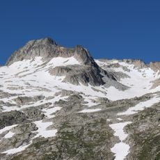
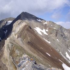
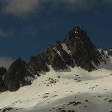
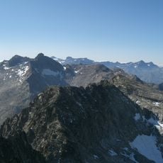
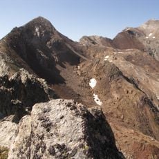
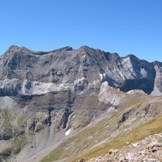
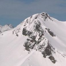
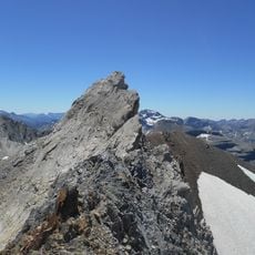
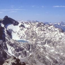
Pic de Crabounouse, also called Pale de Crabounouse on some maps, is a 3,021-metre summit in the Hautes-Pyrénées, near Saint-Lary-Soulan and Barèges in the Pyrenees National Park. It is a secondary top of the western ridge of Pic Long. Its crest is pale grey and brown stone with shattered slabs and loose blocks, sparse dry grass among the stones, and a steep rock face dropping away on the left.
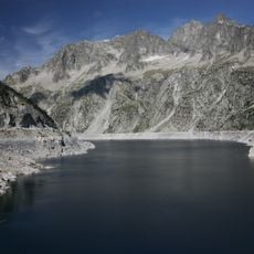
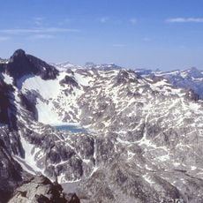
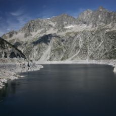
On 13 August 1890, Henri Brulle, Célestin Passet and François Bernat-Salles made the first known ascent of Pic de Crabounouse. The peak is a secondary summit on the western ridge of Pic Long, and later routes approach it via Lac Tourrat or, with more difficulty, Lac de Crabounouse.
In Occitan, crabounousa refers to goats and names a whole high-altitude territory that is the domain of the izards, the Pyrenean chamois. The peak also appears as Pale de Crabounouse on some maps, pale being the local term for a summit.
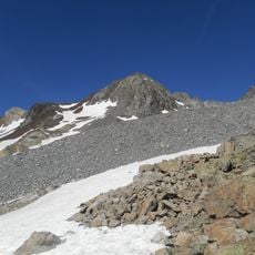
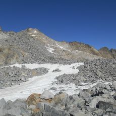
The summit is reached from the Tourrat lake, or by the harder route via Crabounouse lake; the Cap de Long dam is not the documented starting point. The peak is a secondary top of the western ridge of Pic Long, so the final stretch follows a rocky crest with loose slabs and boulders.
The summit is a secondary top of the western ridge of Pic Long, and the sources give no prominence figure for it. Its name comes from Occitan crabounousa, referring to goats and to the high ground that is the domain of the izards, the Pyrenean chamois. The first known ascent was made on 13 August 1890 by Henri Brulle, Célestin Passet and François Bernat-Salles.
The community of curious travelers
AroundUs brings together thousands of curated places, local tips, and hidden gems, enriched daily by 94,001 contributors worldwide.