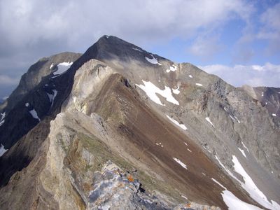
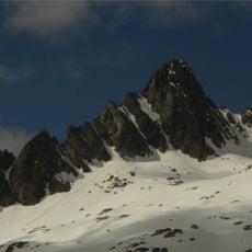
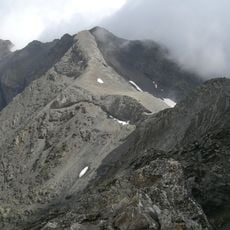
Campbieil, Mountain summit in Hautes-Pyrénées, France
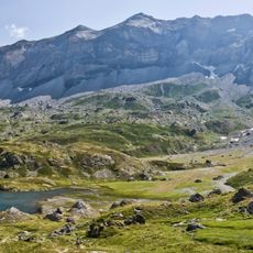
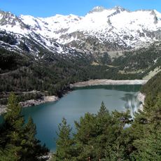
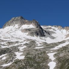
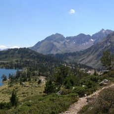
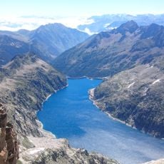
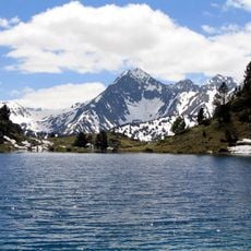
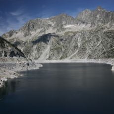
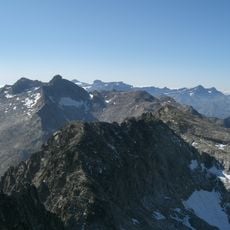
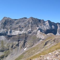
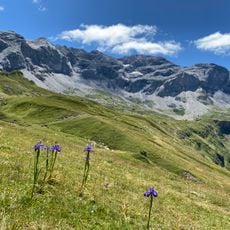
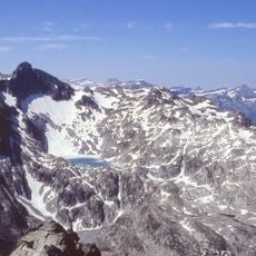
Campbieil is a mountain peak reaching approximately 3,173 meters in elevation within the Néouvielle massif of the French Pyrenees National Park. The massif contains several other significant summits and is known for its high-altitude landscape with glacial lakes and rocky formations.
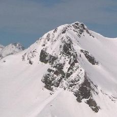
The first documented ascent was completed in 1848 by Captain Loupot during his surveying work in the region. This early climb marked the beginning of systematic exploration and record-keeping for the peak.
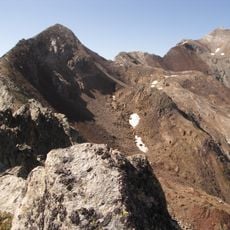
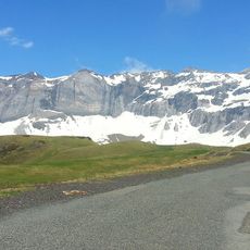
The western slopes have served for generations as grazing land where shepherds move their flocks along paths also used by mountain wildlife. This traditional use continues to shape how people move through the landscape today.
Access is typically from the Cap de Long dam area where marked trails begin leading toward the summit. Basic climbing skills are required and weather can change rapidly, so proper preparation is essential.
The summit holds a precise geographical relationship to nearby peaks that has established it as a local reference point for measuring distances across the region. This topographic significance makes it notable to both hikers and mapmakers alike.
The community of curious travelers
AroundUs brings together thousands of curated places, local tips, and hidden gems, enriched daily by 60,000 contributors worldwide.