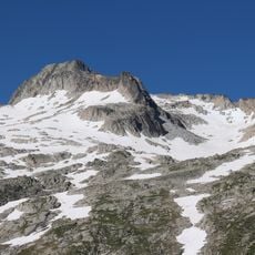
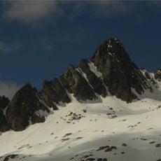
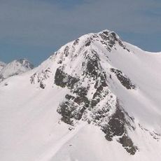
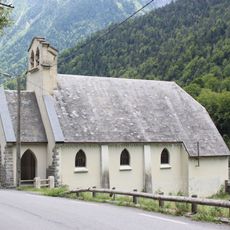
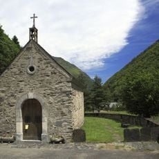
Pic de Bugatet, Mountain peak in Saint-Lary-Soulan, France.
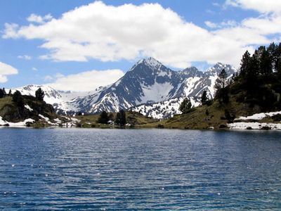
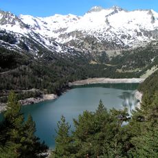
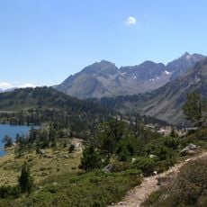
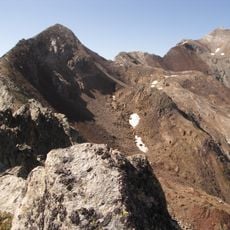
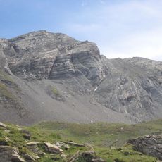
Pic de Bugatet is a mountain peak in the Néouvielle massif standing at 2877 meters. From the summit, you can see across multiple valleys and the lakes formed in the surrounding alpine landscape.
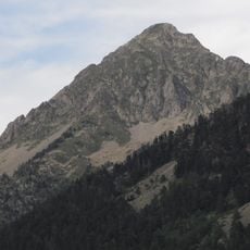
In the early 1900s, the summit served as a key reference point for mapping the Pyrenean range. This role contributed to improving geographical knowledge of the mountain landscape.
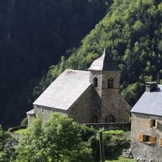
Shepherds have long used the mountain pastures around this peak for seasonal grazing of their flocks. This practice connects the region's people to the natural cycle and remains part of daily mountain life.
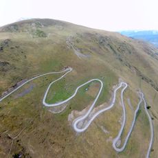
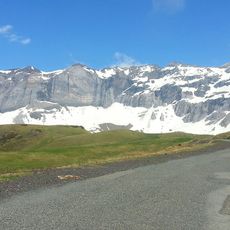
The main hiking route starts from the Artigusse parking area along marked paths, though you need proper mountain gear and solid fitness. Always check weather conditions before setting out, as conditions can change quickly at this elevation.
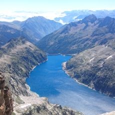
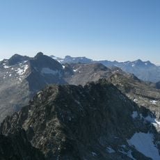
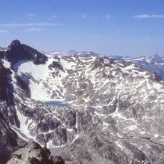
The summit offers a rare direct view of all three Bastan lakes at once, each shaped by ancient glacier action. These lakes together show how ice age processes carved the landscape over millennia.
The community of curious travelers
AroundUs brings together thousands of curated places, local tips, and hidden gems, enriched daily by 60,000 contributors worldwide.