Pic Maubic, Mountain peak in Hautes-Pyrénées, France
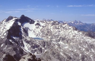
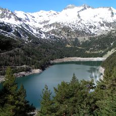
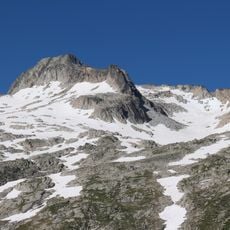
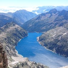
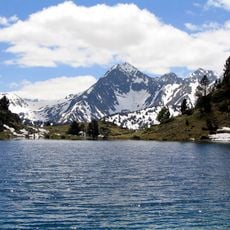
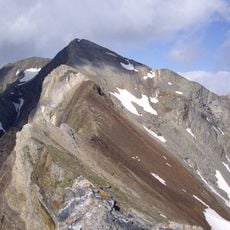
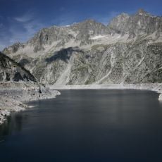
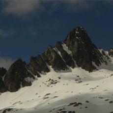
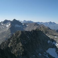
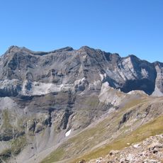
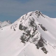
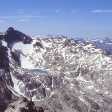
Pic Maubic is a 3058-meter peak in the Néouvielle massif, positioned between Pic Long to the south and Col Tourrat to the north. The summit offers views across multiple alpine lakes and glacial features in the surrounding landscape.
The summit has long served as a watershed boundary between the Adour basin to the west and the Garonne basin to the east. This geographic division shaped historical trade routes and territorial borders in the region.
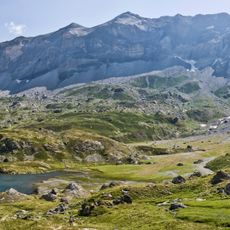
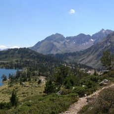
Hikers follow paths marked by traditional stone cairns, reflecting the ancient mountain path-marking practices of the Pyrenees region.
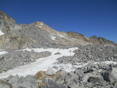
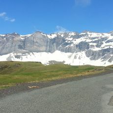
The climb starts from the Cap de Long dam parking area and covers roughly 13 kilometers with about 1225 meters of elevation gain. The route is generally well-marked but requires basic mountain hiking experience and proper footwear.
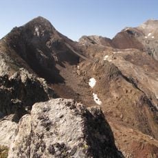
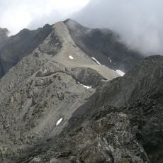
Two glaciers frame this peak: the Lac Tourrat glacier to the west and the Pays-Baché glacier to the south. These icy formations create a distinctive mineral landscape that sets the summit apart from neighboring peaks.
The community of curious travelers
AroundUs brings together thousands of curated places, local tips, and hidden gems, enriched daily by 60,000 contributors worldwide.