Pic Heid, Mountain summit in the Hautes-Pyrénées, France
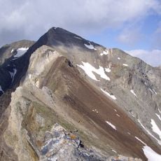
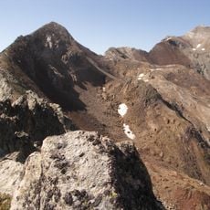
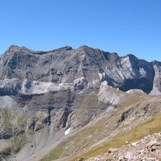
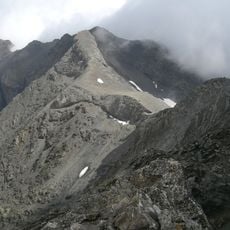
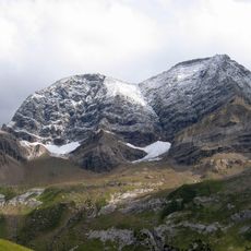
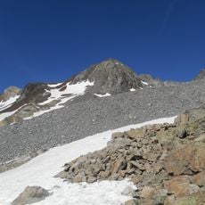
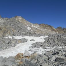
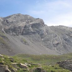
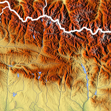
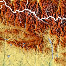
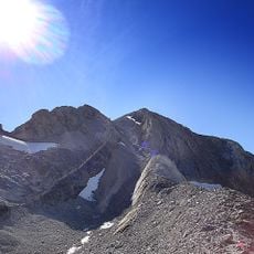
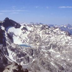
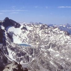
Pic Heid is a limestone summit in the French Pyrenees of Hautes-Pyrénées, reaching 3,022 m (3,028 m in Catalan sources) with a prominence of 30 m. It lies in the Munia massif, on the watershed between the Adour and Garonne basins. Its upper slopes are grey rock and scree, with snow patches in the gullies and a faint trail crossing the face.
Pic Heid is named after Maurice Heid (1881–1957), a Pyrenean climber and cartographer who was a friend and disciple of Franz Schrader. The summit, 3,022 m high, stands on the watershed between the Adour and Garonne basins.
The summit sits on the watershed line dividing the Adour basin, to the west, from the Garonne basin, to the east; both drain into the Atlantic. The peak is named after Maurice Heid (1881–1957), a Pyrenean climber and cartographer, friend and disciple of Franz Schrader.
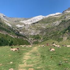
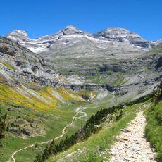
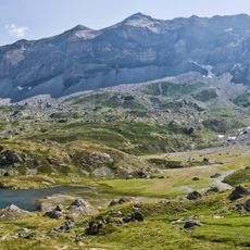
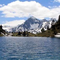
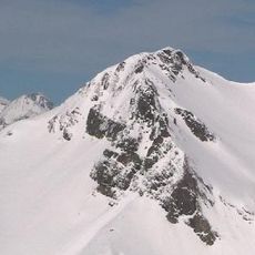
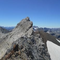
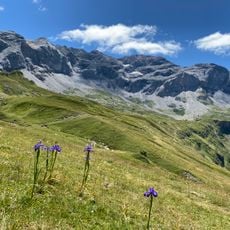
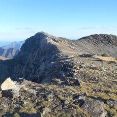
The summit lies on the watershed between the Adour and Garonne basins, in the Hautes-Pyrénées of the Occitanie region. The sources give no marked trail or national-park route to the top, so approach and route-finding must be planned from the surrounding valleys. The photographs show a faint narrow trail crossing the middle of the rock face below the peak, loose scree near the top and snow patches on the upper slopes.
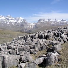
The summit rock is limestone from the Pragian-Emsian stages of the Devonian, as mapped in the Pyrenees. The peak also carries only about 30 metres of prominence above the surrounding ridge of the Munia massif, so it is a modest high point rather than an isolated tower.
The community of curious travelers
AroundUs brings together thousands of curated places, local tips, and hidden gems, enriched daily by 92,913 contributors worldwide.