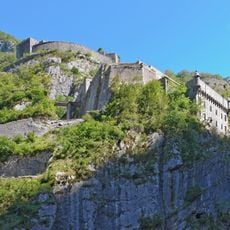
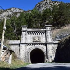
Los Valles Occidentales Natural Park, Natural park in Jacetania, Spain.
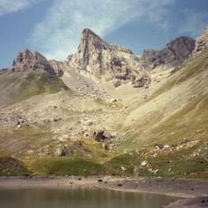
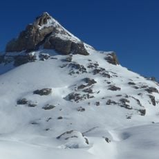
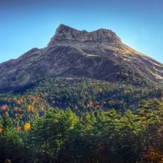
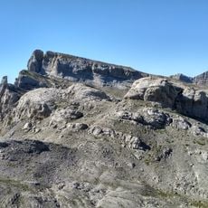
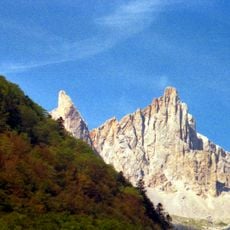
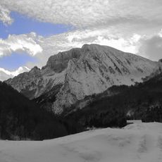
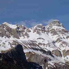
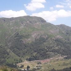
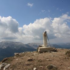
Los Valles Occidentales Natural Park covers 27,073 hectares plus a 7,335-hectare buffer zone across the municipalities of Aísa, Ansó, Aragüés del Puerto, Borau, Jasa, Valle de Hecho and Canal de Berdún. Its altitude runs from 900 m in the valley floors to 2,670 m at the summit of the Bisaurín. Glaciers carved U-shaped valleys, cirques and mountain lakes such as those of Aguas Tuertas, where the water meanders across small plains.
The park was created by Law 14/2006 of the Government of Aragon. It covers 27,073 hectares plus a 7,335-hectare peripheral protection zone across the municipalities of Aísa, Ansó, Aragüés del Puerto, Borau, Jasa, Valle de Hecho and Canal de Berdún. It is also designated a Site of Community Importance and a Special Protection Area for birds.
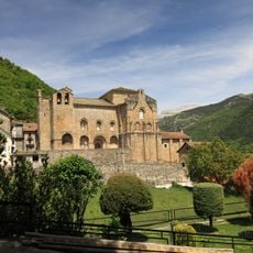
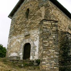
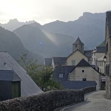
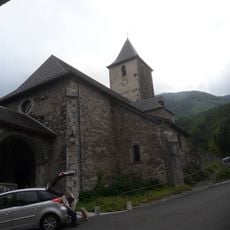
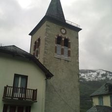
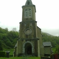
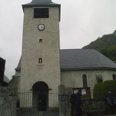
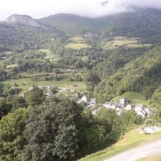
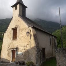
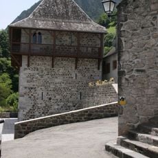
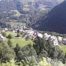
The park's identity markers include the traditional dress, folklore and the Aragonese language spoken in the valleys. Villages such as Ansó and Hecho keep examples of popular mountain architecture, with orderly town centres that grew alongside livestock farming.
The park covers the headwaters of the Veral, Aragón Subordán, Osia, Estarrún and Lubierre rivers, with altitude running from about 900 m in the valley floors to 2,670 m at the Bisaurín summit. Trails link the villages of Aísa, Ansó, Aragüés del Puerto, Borau, Jasa, Valle de Hecho and Canal de Berdún. In Aguas Tuertas, look for the meanders where streams wander across a flat valley floor.
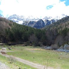
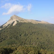
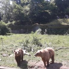
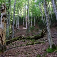
The park holds one of Aragon's best stands of Atlantic forest: in the Selva de Oza, beeches and other deciduous trees grow beside tall firs and black pines. It also shelters the last brown bears of the Pyrenees and the white-backed woodpecker, the capercaillie and the alpine rosalia, a blue beetle.
The community of curious travelers
AroundUs brings together thousands of curated places, local tips, and hidden gems, enriched daily by 94,387 contributors worldwide.