Enable Location

We need your location to show you interesting places around you

Discover nearby places

Find interesting locations and hidden gems around you

Precise directions

Get accurate directions and distances to places

Your location is never shared with other users. It's only used when you tap the location button.

Mesa de los Tres Reyes

Log in to your account

Start exploring — it's free

Trusted by 62,942 travelers worldwide

Continue with Google
Continue with Apple
or

We will send you a code to connect

By continuing, you accept our Terms and Conditions and our Privacy Policy

Check your inbox

We've sent a pincode in your inbox. Please enter the code below.

Mesa de los Tres Reyes
Discussion Reviews 1 Photos
14.2k Popularity

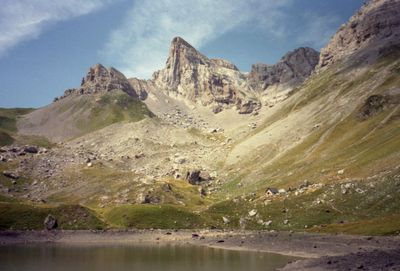
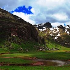
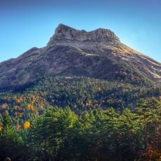
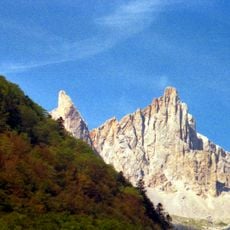
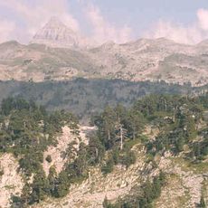
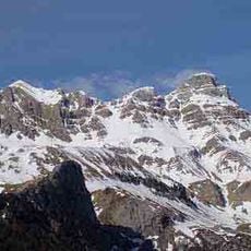
Mesa de los Tres Reyes, Mountain summit at Spanish-French border, Roncal Valley, Spain

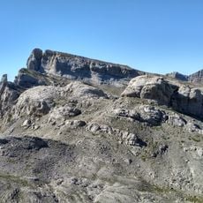
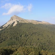
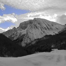
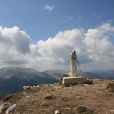
Mesa de los Tres Reyes is a mountain summit at the Spanish-French border in the Roncal Valley, rising to 2,446 meters. The peak features a distinctive limestone plateau that provides views toward both Spain and France from its highest point.

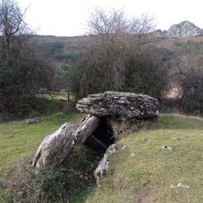
During the Middle Ages, the mountain marked the border between the kingdoms of Navarre, Aragon, and Bearn, establishing its role as a territorial landmark. This geographical position made it a crucial reference point for the surrounding region.

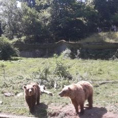
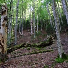
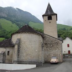
The Roncal Valley surrounding the mountain maintains strong Basque traditions, with local shepherds continuing centuries-old practices of sheep herding.

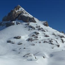
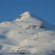
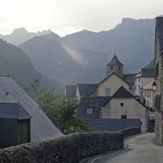
Hikers can access the peak via marked trails starting from the town of Isaba, with conditions being most favorable in warmer months. The routes involve steep terrain and require proper mountain equipment and fitness.

The plateau peak formed through limestone erosion over millions of years, creating a rare flat summit surface in mountain terrain. On clear days, visitors gain an exceptional overview of the landscape on both sides of the border.

The community of curious travelers

AroundUs brings together thousands of curated places, local tips, and hidden gems, enriched daily by 60,000 contributors worldwide.

Start exploring
Elevation above the sea
2,446 m
GPS coordinates
42.91941,-0.72750
Latest update
December 7, 2025 20:22
Reviews
Share your experience

No review yet

Discussions
Start a discussion...

No discussion yet

« Mesa de los Tres Reyes - Mountain summit at Spanish-French border, Roncal Valley, Spain » is provided by Around Us (aroundus.com). Images and texts are derived from Wikimedia project under a Creative Commons license. You are allowed to copy, distribute, and modify copies of this page, under the conditions set by the license, as long as this note is clearly visible.

Discover hidden gems everywhere you go!

From secret cafés to breathtaking viewpoints, skip the crowded tourist spots and find places that match your style. Our app makes it easy with voice search, smart filtering, route optimization, and insider tips from travelers worldwide. Download now for the complete mobile experience.

Around Us App Screenshot

A unique approach to discovering new places

Le Figaro

All the places worth exploring

France Info

A tailor-made excursion in just a few clicks

20 Minutes

Around Us
Travel Guide & Maps
Download

Send to your phone

QR Code
1

Open the camera app on your mobile.

2

Point at the QR code with your camera. A notification will appear.

3

Tap the notification to open the link.