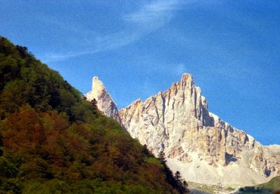
Grande aiguille d'Ansabère, Mountain peak in Pyrénées-Atlantiques, France.
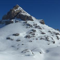
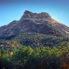
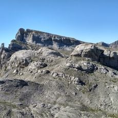
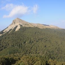
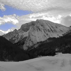
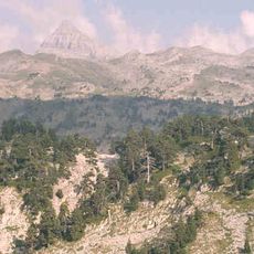
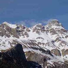
Grande Aiguille d'Ansabère is a mountain peak rising to approximately 2377 meters (7798 ft) in the Pyrenees, positioned near the French-Spanish border in the Larra-Belagua massif. Its distinctive rocky formations with sharp vertical ridges and deep cracks make it a notable landmark in the range.
The summit was first successfully ascended on 27 June 1927 by Marcel Cames and Henri Sarthou, following an earlier fatal attempt in 1923. Over the following decades, climbers progressively developed and refined the technical routes to establish safer access methods.
The summit is popular among climbers from across Europe who seek out its challenging routes and enjoy the mountain atmosphere. The sharp rocky formations and the technical nature of the climbs give the peak a strong reputation within the climbing community.
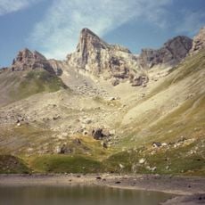
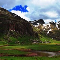
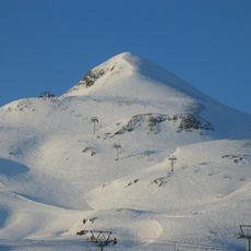
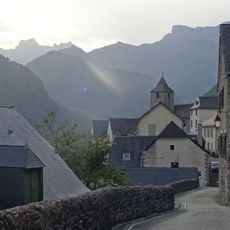
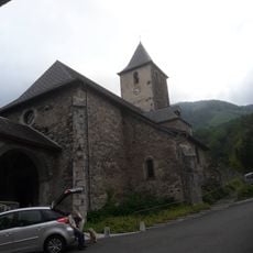
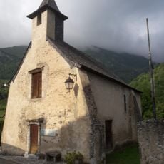
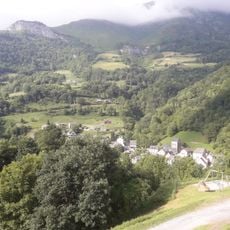
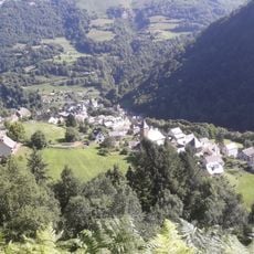
The peak is most easily reached from the town of Lescun by following marked hiking paths that lead toward the Cabanes d'Ansabère shelter located lower on the eastern side. Climbers should expect steep rocky terrain and need solid experience with scrambling or technical climbing for the final approach.
The eastern rock wall features an unusual geological formation consisting of a deep vertical crack where iron bars have been permanently fixed. These metal aids allow climbers of moderate skill to navigate what would otherwise be an extremely technical passage.
The community of curious travelers
AroundUs brings together thousands of curated places, local tips, and hidden gems, enriched daily by 60,000 contributors worldwide.