Aiguille SW de Cerbillona, Mountain summit in Torla-Ordesa, Spain and Cauterets, France.
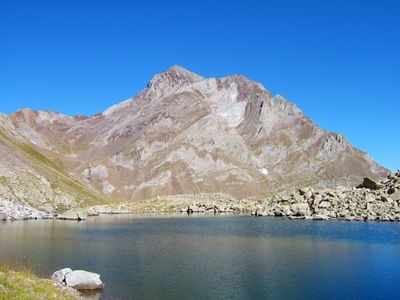
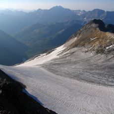
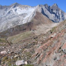
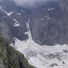
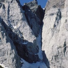
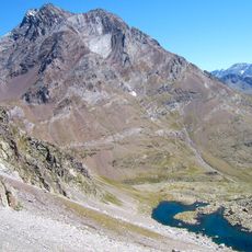
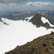
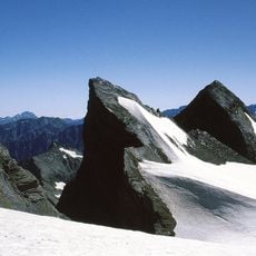
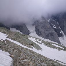
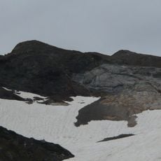
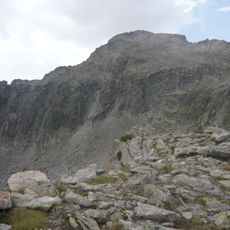
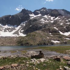
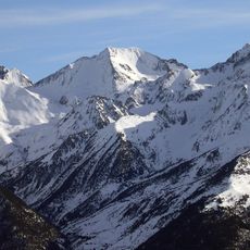
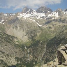
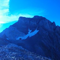
The Aiguille SW de Cerbillona is a summit within the Vignemale massif standing at 3051 meters, displaying steep granite faces and narrow ridges along the Franco-Spanish border. The peak features technically demanding terrain with exposed sections and varied climbing conditions throughout the ascent.
The peak became a focal point for mountaineering expeditions during the 19th century when French and Spanish explorers mapped the central Pyrenean range and established various ascent routes. This period of intensive exploration shaped the climbing traditions of both nations.
This peak represents the meeting point of French and Spanish climbing traditions, where mountaineers from both nations developed various ascent routes.
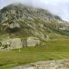
Sturdy footwear and experience with climbing equipment are necessary due to exposed ridges and rock sections throughout the route. Weather can change rapidly at this elevation, making early starts and careful planning important for safety.
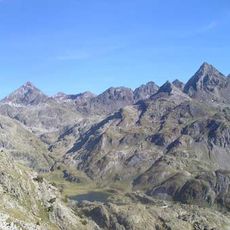
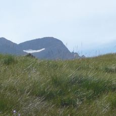
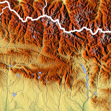
From the summit visitors can see two national parks at once: Spain's Ordesa y Monte Perdido and France's Pyrenees National Park spread across the landscape. This rare dual perspective makes the location special for observing the terrain of both countries.
The community of curious travelers
AroundUs brings together thousands of curated places, local tips, and hidden gems, enriched daily by 60,000 contributors worldwide.