Pic de Cestrède, Granite summit in Hautes-Pyrénées, France.
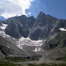
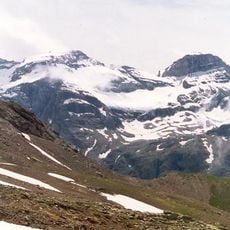
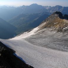
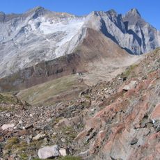
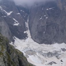
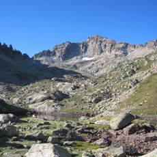
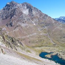
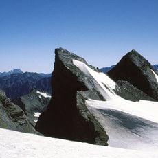
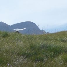
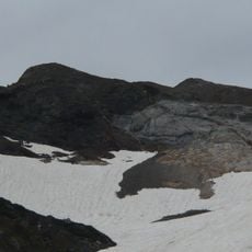
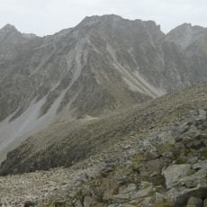
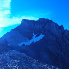
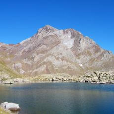
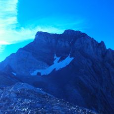
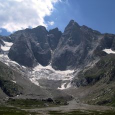
Pic de Cestrède is a granite summit at 2,947 m in the Ardiden massif, the second-highest peak of the Cestrède valley after Malh Arrouy. Its south face drops in cliffs about 400 m high, and the ridge between Pic du Lac Noir and the summit is abrupt. The upper face is light grey with vertical ridges and dark streaks, above a fan of loose rock debris and large angular boulders with yellow-green lichen.
The sources record no construction date or founder for the unguarded Russell shelter in the Culaus cirque, and no climbing history for the summit itself. What they document is the present layout: two main routes, one from La Fruitière in the Lutour valley with 1,600 m of ascent via the Col de Culaus (2,565 m), the other from the granges de Bué up the Lac Noir ravine with 1,400 m. The peak remains little visited.
In Gascon, a cestrède is a place where yarrow (Achillea millefolium) grows; the peak takes its name from this plant. The same Gascon root names the Cestrède valley and its lake below the summit, at 1,962 m. Walkers on the approach paths cross these high pastures where the plant grows.
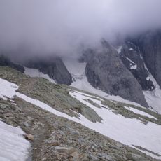
The route starts from La Fruitière parking area and is best attempted on clear days when rock passages are safe and visible. The entire ascent is demanding and requires climbing experience along with solid footing on rocky terrain.
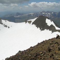
The summit is the highest point of the Culaus ridge, which runs over two kilometres from the Soum det Guingays (2,451 m) west to the Pointe de Cestrède (2,918 m) south. The ridge is reached via the Col de Culaus at 2,565 m, and the peak is rarely visited.
The community of curious travelers
AroundUs brings together thousands of curated places, local tips, and hidden gems, enriched daily by 93,155 contributors worldwide.