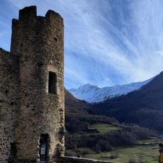
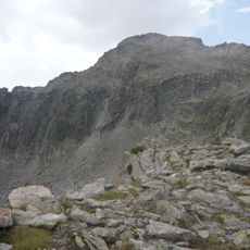
Pic de Chanchou, Mountain summit in Hautes-Pyrénées, France
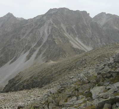
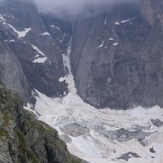
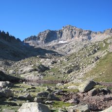
Pic de Chanchou is a 2,949-meter summit in the Ardiden massif with prominent granite formations covering its slopes. The peak sits in the Hautes-Pyrénées region and commands views over the surrounding Pyrenean terrain.
Cartographers used the summit as a reference point during 19th-century mapping of the France-Spain border in the Pyrenees. These surveying efforts made it a key landmark in early mountain mapping.
Shepherds have grazed their flocks on the lower slopes for centuries, shaping how people use this mountain landscape. This traditional pastoral practice remains visible in the region today.
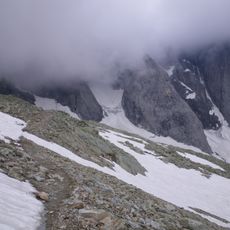
The approach starts from the Fruitière starting point in Lutour valley and follows the cirque de Culaus route. Climbers should prepare for steep terrain and carry proper mountain gear, as weather can change quickly at altitude.
The summit marks the western end of a long ridge that extends several kilometers across the landscape. This ridge connects multiple peaks and forms a continuous mountain chain in the area.
The community of curious travelers
AroundUs brings together thousands of curated places, local tips, and hidden gems, enriched daily by 60,000 contributors worldwide.