Great Peak of Tapou, Mountain summit in Pyrénées National Park, France
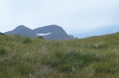
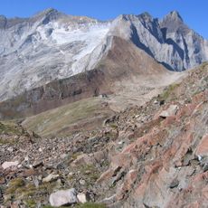
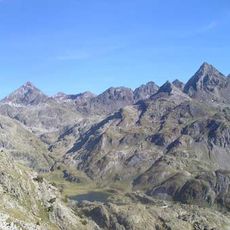
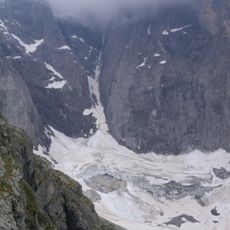
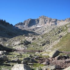
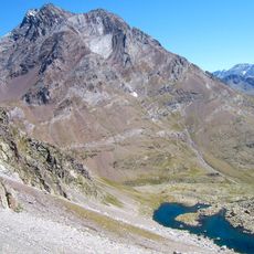
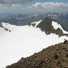
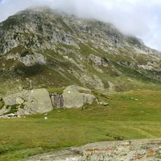
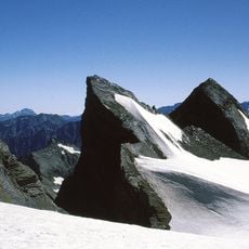
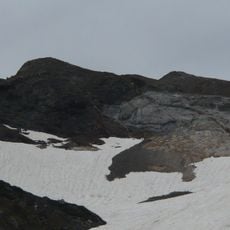
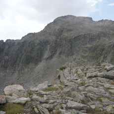
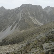
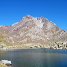
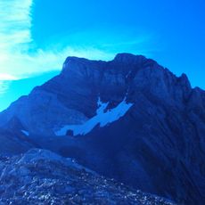
The Great Peak of Tapou is a 3150-meter (10,331 ft) mountain located in the Massif de Vignemale range on the France-Spain border. The terrain consists of rocky slopes, scree fields, and alpine meadows typical of high mountain environments.
Mountain guides Haurine and Pierre Pujo led explorer Henry Russell to the summit on August 1, 1883, in what became the first recorded ascent of this peak. This climb marked an important milestone in the exploration of the Vignemale massif during the era of alpine mountaineering.
The summit carries different names across the regional languages, reflecting the linguistic variety of people living on both sides of the French-Spanish border.
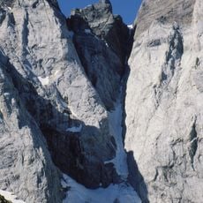
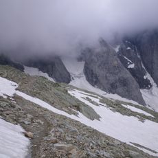
Climbers start from the Ossoue Dam and follow marked routes past the Montferrat Lakes at high altitude above 3000 meters. Proper mountaineering equipment, rock climbing skills, and stable weather are essential, as conditions can change rapidly in this exposed environment.
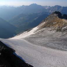
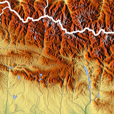
The summit marks a hidden water divide where rain falling on one side flows toward the Atlantic through the Adour basin, while rain on the other side goes toward the Mediterranean via the Ebro basin. This invisible boundary is a natural watershed that determines where every drop of water eventually ends up.
The community of curious travelers
AroundUs brings together thousands of curated places, local tips, and hidden gems, enriched daily by 60,000 contributors worldwide.