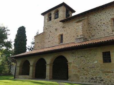
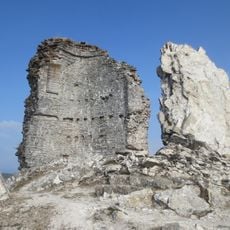
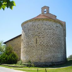
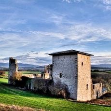
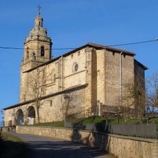
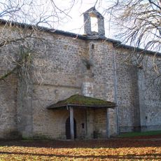
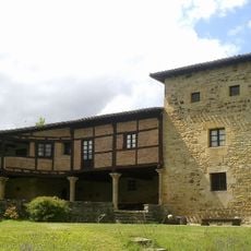
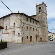
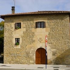
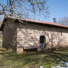
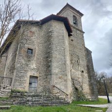
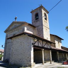
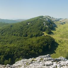
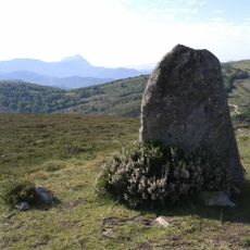
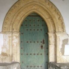
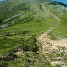
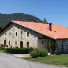
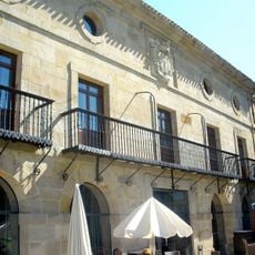
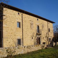
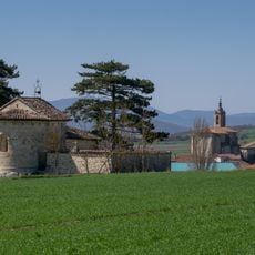
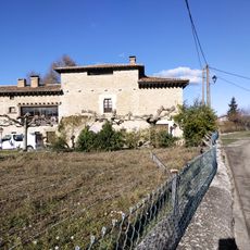
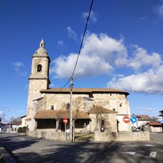
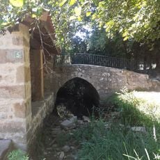
Barrundia, municipality of Spain
Location: Cuadrilla de Salvatierra-Arabako Lautadako kuadrilla
Inception: 1181
Capital city: Barrundia
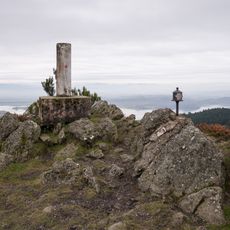
Elevation above the sea: 575 m
Shares border with: Alegría-Dulantzi, San Millán-Donemiliaga, Agurain/Salvatierra, Iruraiz-Gauna, Elburgo/Burgelu, Vitoria-Gasteiz, Leintz-Gatzaga, Eskoriatza, Aretxabaleta, Oñati
Website: http://barrundia.net
GPS coordinates: 42.91529,-2.50296
Latest update: March 2, 2025 21:18
Castle of Guevara-Gebara
1.8 km
Santuario de Nuestra Señora de Ayala
7 km
Tower-palace of Guevara
2.1 km
Iglesia de San Juan Bautista
3.9 km
Monastery of Santa María, Barria
5.5 km
Lazarraga Tower
3.3 km
Saint Roman church
8.5 km
Casa De Los Gaona
8.2 km
Ermita de Santa Marina
4.7 km
Convento de Santa Clara
8.3 km
Iglesia de San Andrés
6.3 km
Iglesia de la Santa Cruz
3.2 km
Aranguren
8.2 km
Menhir de Mugarriluze
5.3 km
Iglesia de la Natividad de Nuestra Señora
7.4 km
Arlutz
7.6 km
Casa San Martin 1
2 km
Parador de Argómaniz
6.2 km
Casa consistorial de Barrundia
606 m
Elgeamendi
4.8 km
Hermitage of San Juan de Arrarain
7.6 km
Casa Fuerte "Torre Blanca"
7.9 km
Iglesia de San Julián y Santa Basilisa
7.9 km
Puente Zubiluze
3.4 km
Puente Del Lavadero
3.3 km
Aldaia
2.3 km
Convento De Santa Clara
8.2 km
Elgeamendi
4.8 kmVisited this place? Tap the stars to rate it and share your experience / photos with the community! Try now! You can cancel it anytime.
Discover hidden gems everywhere you go!
From secret cafés to breathtaking viewpoints, skip the crowded tourist spots and find places that match your style. Our app makes it easy with voice search, smart filtering, route optimization, and insider tips from travelers worldwide. Download now for the complete mobile experience.
A unique approach to discovering new places❞
— Le Figaro
All the places worth exploring❞
— France Info
A tailor-made excursion in just a few clicks❞
— 20 Minutes