
Errigoiti, municipality of Spain
Location: Busturialdea
Inception: 1376
Capital city: Errigoiti
Elevation above the sea: 265 m
Part of: Mancomunitat de Serveis Socials de Busturialdea
Shares border with: Gernika, Muxika, Morga, Arrieta, Busturia, Murueta, Forua
GPS coordinates: 43.32000,-2.72389
Latest update: March 2, 2025 23:48

Gernikako Arbola
3.6 km
Urdaibai
4.9 km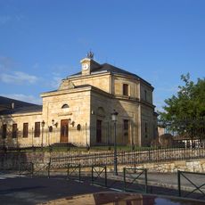
Casa De Juntas De Gernika
3.7 km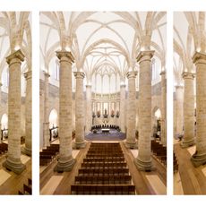
Iglesia de Santa María
3.7 km
Gure Aitaren Etxea
3.5 km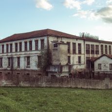
Tenería Vascongada
3.9 km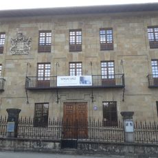
Museo Euskal Herria
3.7 km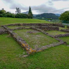
Poblado romano de Forua
4.2 km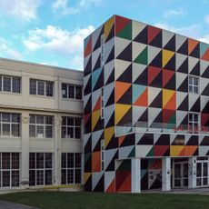
Astra Gaztetxea
3.9 km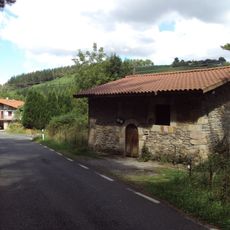
San Esteban baseliza, Morga
2.6 km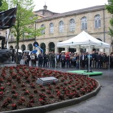
La Union plaza
3.7 km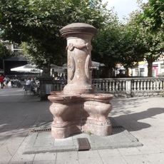
San Juan Ibarra plazako iturria
3.8 km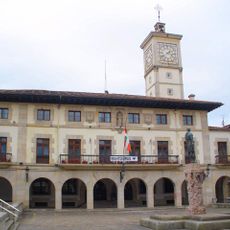
Town hall of Gernika-Lumo
3.7 km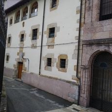
Church and Convent of Santa Clara, Gernika
3.6 km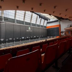
Jai-Alai Gernika
3.7 km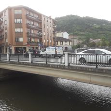
Errenteriako zubia
3.9 km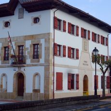
Town hall of Forua
4.3 km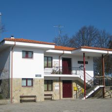
Town hall of Morga
3.2 km
Town hall of Fruiz
5 km
Mahats-biltzailearen iturria
3.8 km
Eliz-Gane
3.6 km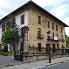
Euskal Herria Museoa
3.6 km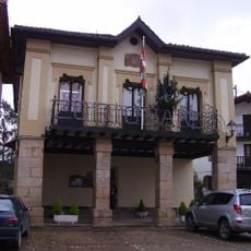
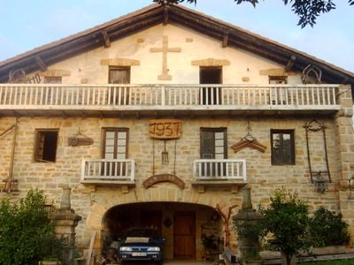
Town hall of Errigoiti
186 m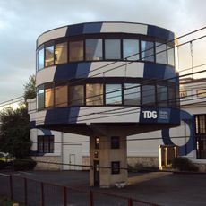
Talleres de Guernica. Oficinas
3.9 km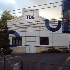
Talleres de Guernica. Pabellón 2
3.9 km
Catarro Enea
3.8 km
Landotz – Pepiena bidea
3.7 km
Ezenarro etxea
3.7 kmReviews
Visited this place? Tap the stars to rate it and share your experience / photos with the community! Try now! You can cancel it anytime.
Discover hidden gems everywhere you go!
From secret cafés to breathtaking viewpoints, skip the crowded tourist spots and find places that match your style. Our app makes it easy with voice search, smart filtering, route optimization, and insider tips from travelers worldwide. Download now for the complete mobile experience.

A unique approach to discovering new places❞
— Le Figaro
All the places worth exploring❞
— France Info
A tailor-made excursion in just a few clicks❞
— 20 Minutes