
Gizaburuaga, municipality of Spain
Location: Lea-Artibai
Inception: 1515
Capital city: Gizaburuaga
Elevation above the sea: 40 m
Part of: Mancomunitat de los Municipios Rurales del Lea, Mancomunitat de Municipis de Lea Artibai, UEMA - Udalerri Euskaldunen Mankumunitatea
Shares border with: Ispaster, Amoroto, Aulesti, Nabarniz
GPS coordinates: 43.33094,-2.53795
Latest update: March 3, 2025 02:25
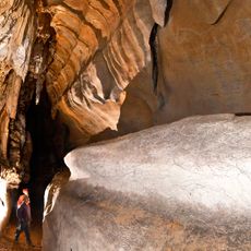
Cueva de Atxurra
4.1 km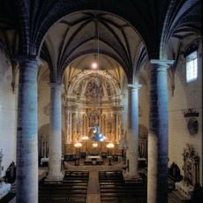
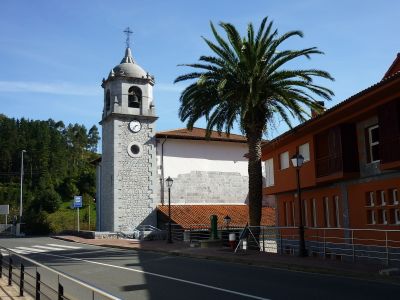
San Joan Bataiatzailearen eliza, Aulesti
4.3 km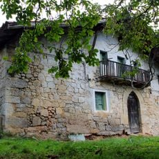
Erkiagabekoa baserria
3 km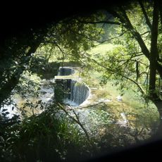
Errotabarri errotaren azpiegitura hidraulikoa
177 m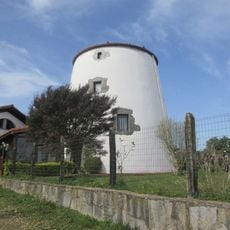
Aixeder
2.7 km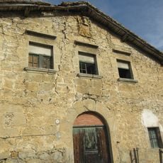
Urkixa Torre palace
3.6 km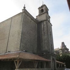
San Migel eliza
3.5 km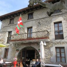
Ispaster City Hall
3.3 km
Arana jauregia
3.8 km
San Martin hermitage
2.9 km
Azurtuako Andre Maria Magdalenaren baseliza
3.8 km
Iturraspe-Bengoetxea etxea
3.8 km
Santa Cruz hermitage
4.3 km
Ereza dorrea
318 m
Bengolea dorrea
636 m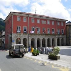
Town hall of Aulesti
4.3 km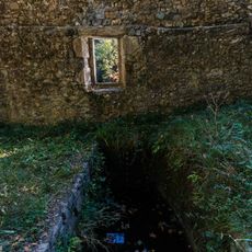
Errotazar
827 m
Casa Dendari 48 - 50
4.4 km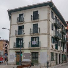
Casa Dendari 52
4.3 km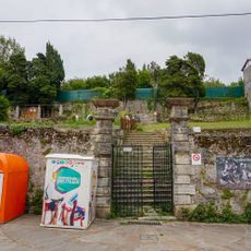
Parque Usotegi
4.3 km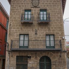
Torre Arteita
4.3 km
Casa Dendari 47
4.4 km
Casa Atea 5
4.3 km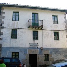
Molino Lariz Oleta
1.2 km
Infraestructura Hidráulica De Errotazar
824 m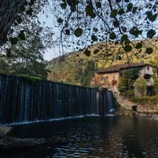
Infraestructura Hidráulica De Bengolea
484 m
Ferrerias De Bengolea
495 m
Casa Atea 14
4.2 kmVisited this place? Tap the stars to rate it and share your experience / photos with the community! Try now! You can cancel it anytime.
Discover hidden gems everywhere you go!
From secret cafés to breathtaking viewpoints, skip the crowded tourist spots and find places that match your style. Our app makes it easy with voice search, smart filtering, route optimization, and insider tips from travelers worldwide. Download now for the complete mobile experience.

A unique approach to discovering new places❞
— Le Figaro
All the places worth exploring❞
— France Info
A tailor-made excursion in just a few clicks❞
— 20 Minutes