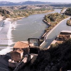
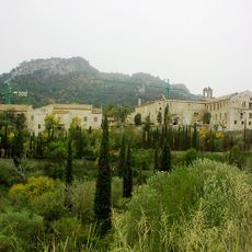
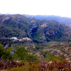
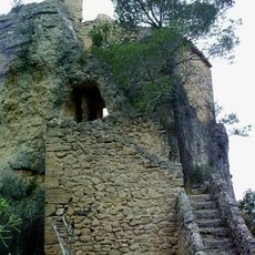
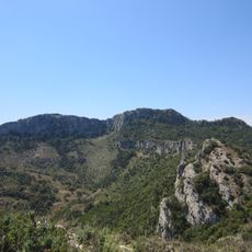
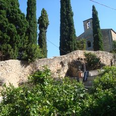
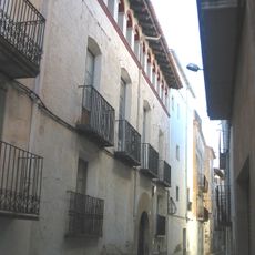
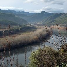
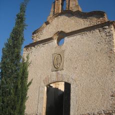
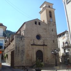
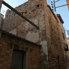
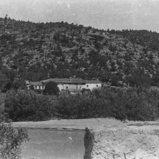
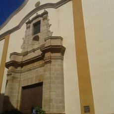
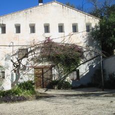
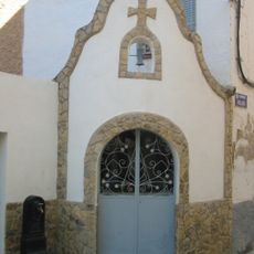
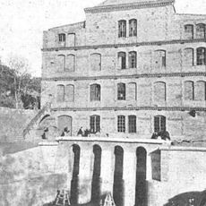
Benifallet, municipality of Spain
Location: Baix Ebre
Capital city: Benifallet
Elevation above the sea: 19 m
Website: http://www.benifallet.altanet.org/
Shares border with: El Pinell de Brai, Miravet, Rasquera, Tivenys, Cherta, Pauls, Prat de Comte
Website: http://benifallet.altanet.org
GPS coordinates: 40.97583,0.51778
Latest update: March 5, 2025 21:39
Assut de Xerta
6.1 km
Balneari de Cardó
5.6 km
Celler Cooperatiu del Pinell de Brai
4.6 km
Mirador de la serra de Pàndols
6.8 km
Vall de Cardó
5.6 km
Ermitatge de Cardó
6 km
Creu de Santos
7 km
Villa Retiro (Xerta)
7.5 km
Santa Maria de Benifallet
316 m
Coll de Pins
6.5 km
Casa Ravanals
8 km
Aligars - Serra Fulletera
2.9 km
Mare de Déu del Carme de Tivenys
6.6 km
Santa Maria de l'Assumpció de Benifallet
218 m
Col·legi de Grau i de Gras
245 m
Casa Sentís
8 km
Torre de Tivenys
7.6 km
Mas de Mollet
2.1 km
Sant Miquel de Tivenys
7.6 km
Molí de Dalt
7.2 km
Capelles de Sant Zenó i la Mare de Déu del Pilar
8 km
Antiga Fàbrica de Farina de González
6.3 km
Castell de Benifallet
287 m
Sant Onofre de l'Agulla
6 km
Ermita de Santa Teresa
5.8 km
Santiago Rusiñol Library
240 m
Ermita de Sant Simeó
6 km
Ermita de la Santíssima Trinitat
5.7 kmReviews
Visited this place? Tap the stars to rate it and share your experience / photos with the community! Try now! You can cancel it anytime.
Discover hidden gems everywhere you go!
From secret cafés to breathtaking viewpoints, skip the crowded tourist spots and find places that match your style. Our app makes it easy with voice search, smart filtering, route optimization, and insider tips from travelers worldwide. Download now for the complete mobile experience.
A unique approach to discovering new places❞
— Le Figaro
All the places worth exploring❞
— France Info
A tailor-made excursion in just a few clicks❞
— 20 Minutes