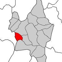
Allariz, Medieval municipality in Ourense province, Spain
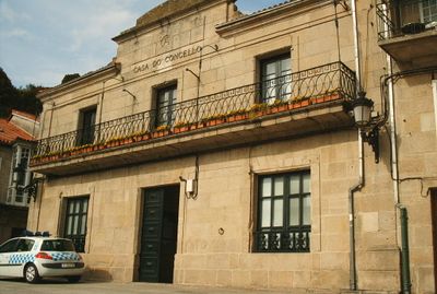
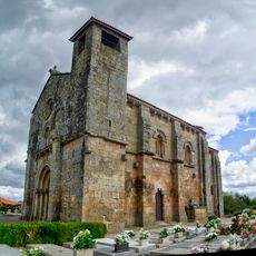
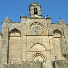
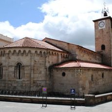
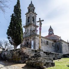
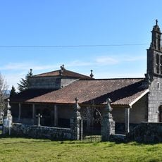
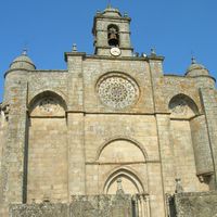
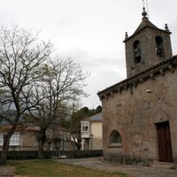
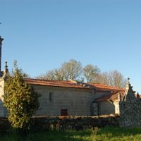
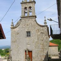
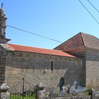
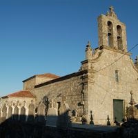
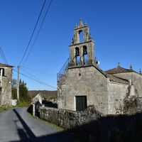
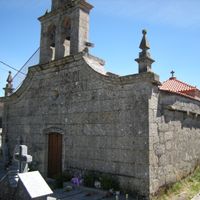
Allariz is a municipality in Ourense province situated across rolling terrain with narrow cobblestone streets and traditional architecture. The town centers on an older quarter where religious buildings and local shops cluster around a layout that reflects centuries of development.
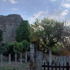
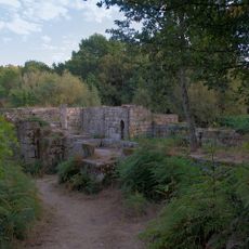
The town traces its roots to an ancient settlement and became important during medieval times as a strategic location in regional conflicts. This period shaped its architecture and established its role in local history.
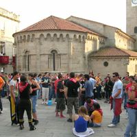
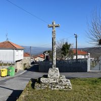
The town preserves traditional Galician customs that remain visible in local festivals and the daily rhythm of its streets. Visitors encounter these traditions through celebrations and in the way the community uses its historic spaces.
The town is accessible by car with parking available near the entrance to the old quarter. Walking through the narrow streets toward the center requires some effort due to the sloped terrain.
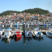
A river runs through the municipality from east to west, creating fertile valleys bordered by forests of pine and native oak trees. This natural waterway shapes the landscape and gives the area its green character.
The community of curious travelers
AroundUs brings together thousands of curated places, local tips, and hidden gems, enriched daily by 60,000 contributors worldwide.