
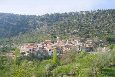
Arbolí, municipality of Spain
Location: Baix Camp
Elevation above the sea: 714 m
Website: http://www.arboli.altanet.org/
Shares border with: Alforja, Cornudella de Montsant, La Febró, Vilaplana
Website: http://arboli.altanet.org
GPS coordinates: 41.24251,0.94882
Latest update: March 5, 2025 20:44

Siurana
2.2 km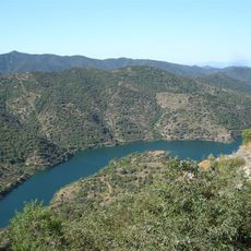
Siurana reservoir
3 km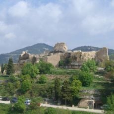
Castell de Siurana
2.1 km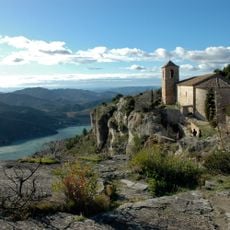
Santa Maria de Siurana
2.2 km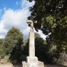
Creu de Formatge
4.9 km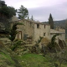
Sant Pau d'Arbolí
277 m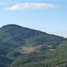
Puig de Gallicant
1.3 km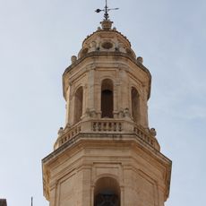
Sant Miquel d'Alforja
4.2 km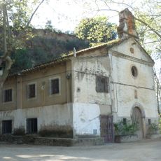
Santuari de Sant Antoni de Pàdua d'Alforja
4.2 km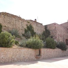
Castell d'Alforja
4.4 km
Nevera del Ginoteta
3.8 km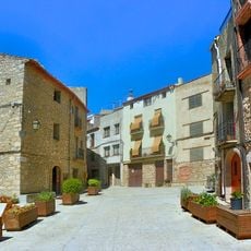
Centre històric d'Arbolí
28 m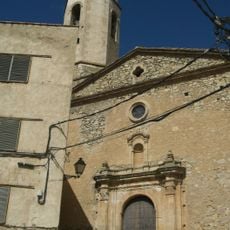
St. Andrew's church in Arbolí
16 m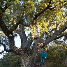
Surera del Mas de les Moreres
4.1 km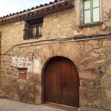
Ca l'Arrel
58 m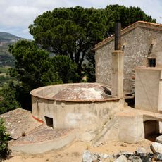
Nevera del Mas d'en Paí
4.1 km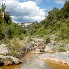
Molí del Salvat de Baix
1.8 km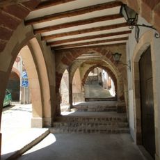
Centre històric d'Alforja
4.2 km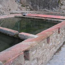
La Font i els Rentadors
54 m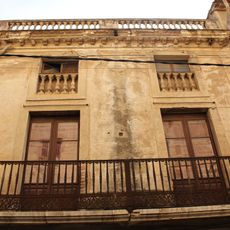
Casa dels Amics d'Alforja
4.2 km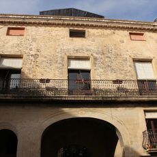
Casa de Bató
4.2 km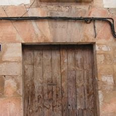
Cal Roig
29 m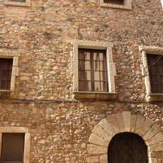
Casa de Batllet
4.2 km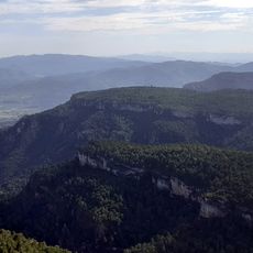
Punta del Sec
4.6 km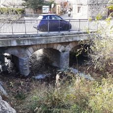
Pont a l'entrada del poble
51 m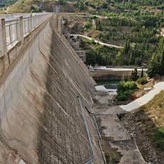
Presa de Siurana
3 km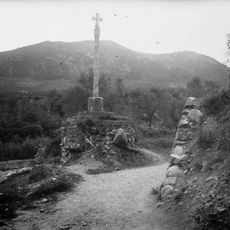
La Creu de Pedra
4 km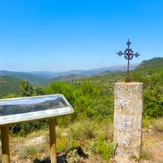
La Creu
578 mReviews
Visited this place? Tap the stars to rate it and share your experience / photos with the community! Try now! You can cancel it anytime.
Discover hidden gems everywhere you go!
From secret cafés to breathtaking viewpoints, skip the crowded tourist spots and find places that match your style. Our app makes it easy with voice search, smart filtering, route optimization, and insider tips from travelers worldwide. Download now for the complete mobile experience.

A unique approach to discovering new places❞
— Le Figaro
All the places worth exploring❞
— France Info
A tailor-made excursion in just a few clicks❞
— 20 Minutes