
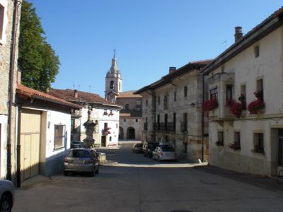
Arraia-Maeztu, municipality of Spain
Location: Montaña Alavesa/Arabako Mendialdea
Inception: 1958
Capital city: Arraia-Maeztu
Elevation above the sea: 659 m
Shares border with: Agurain/Salvatierra, Alegría-Dulantzi, Harana/Valle de Arana, Campezo/Kanpezu, Bernedo, Iruraiz-Gauna, San Millán-Donemiliaga
Website: http://arraia-maeztu.org
GPS coordinates: 42.74066,-2.44800
Latest update: March 7, 2025 23:47

Izki Natural Park
5.4 km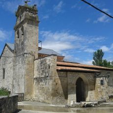
Church of Asunción
9.6 km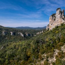
Castillo de Corres
6 km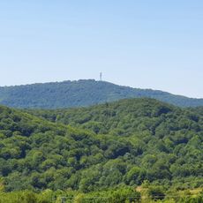
Kapildui
7.9 km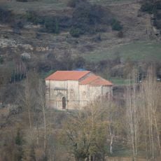
Ermita De San Juan
9.9 km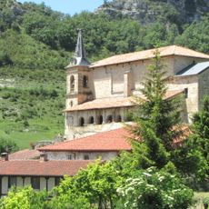
Iglesia de San Martín
7.9 km
Izki Golf
10.1 km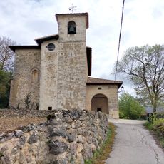
Iglesia de San Esteban
1.7 km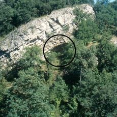
Kanpanoste Goikoa
2.9 km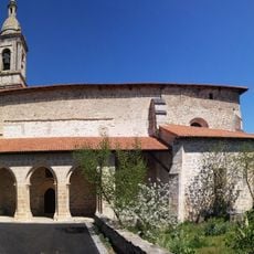
Iglesia de San Bartolomé
9.4 km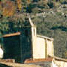
Iglesia de la Natividad de Nuestra Señora
7.7 km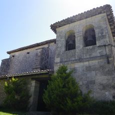
Iglesia de San Esteban
10.2 km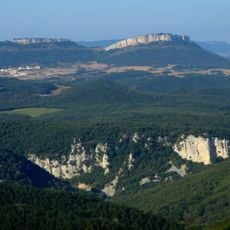
Muela
7.8 km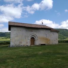
Andra Mari tenplua (Uribarri Harana)
10.8 km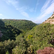
Igoroingo sakana
4.4 km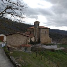
San Mames Church, Oteo
7.3 km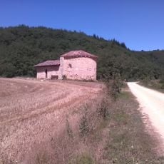
Bakardadearen baseliza (Atauri)
1.8 km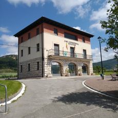
Casa consistorial del Valle de Arana
9.6 km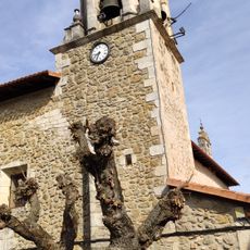
Jasokundearen eliza, Bujanda
8.1 km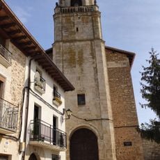
San Andres Church, Orbiso
10.5 km
Santa Maria de San Juan Church, Oteo
7 km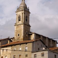
Church of San Vicente Mártir, Antoñana
6.8 km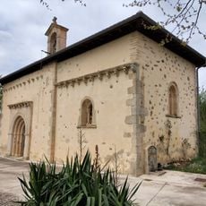
Hermitage of Virgen del Campo
625 m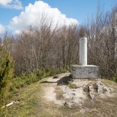
Belabia
10.1 km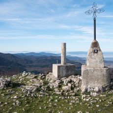
Ermita
7.3 km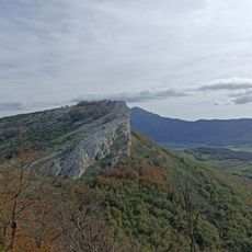
Muela
7.8 km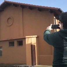
Granero de Santa Cruz de Campezo
10.5 km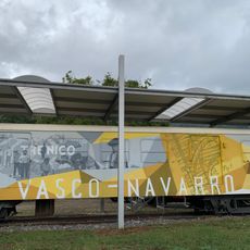
Centro de Interpretación de la Vía Verde del Ferrocarril Vasco-Navarro
7 kmReviews
Visited this place? Tap the stars to rate it and share your experience / photos with the community! Try now! You can cancel it anytime.
Discover hidden gems everywhere you go!
From secret cafés to breathtaking viewpoints, skip the crowded tourist spots and find places that match your style. Our app makes it easy with voice search, smart filtering, route optimization, and insider tips from travelers worldwide. Download now for the complete mobile experience.

A unique approach to discovering new places❞
— Le Figaro
All the places worth exploring❞
— France Info
A tailor-made excursion in just a few clicks❞
— 20 Minutes