
Mainar, municipality of Spain
Location: Zaragoza Province
Capital city: Mainar
Elevation above the sea: 866 m
Shares border with: Codos, Encinacorba, Villarreal de Huerva, Villadoz, Villarroya del Campo, Retascón, Torralbilla
GPS coordinates: 41.19222,-1.30417
Latest update: March 3, 2025 01:56
La Morica Encantada
12.4 km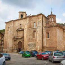
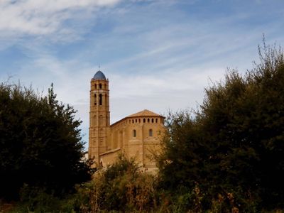
Collegiate church of Santa María
12.6 km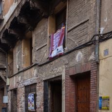
Palacio de los Luna
12.6 km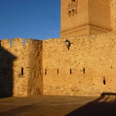
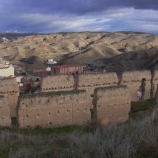
Castillo de Romanos
8 km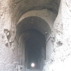
La Mina
12.4 km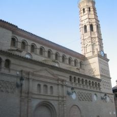
Church of Nuestra Señora de los Ángeles, Paniza
12.8 km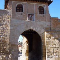
Puerta Alta
12.4 km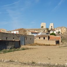
Castillo de Langa
8.5 km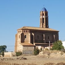
Iglesia de Santa Ana
190 m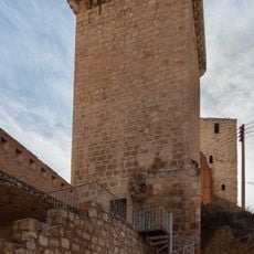
Torre de la Carretería, Daroca
12.4 km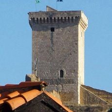
Torre de la Espuela
12.6 km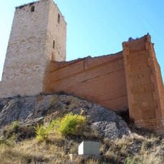
Torre de las Cinco Esquinas
12.5 km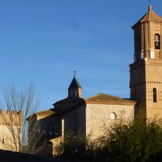
Church of San Miguel Arcángel, Villarreal de Huerva
1.4 km
Castle of Retascon
8.6 km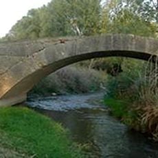
Puente de Almada
2.8 km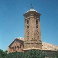
Iglesia de Santa María Magdalena
10.4 km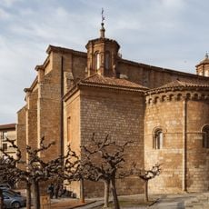
Church of San Miguel, Daroca
12.8 km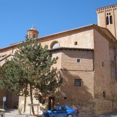
Church of Santo Domingo de Silos
12.8 km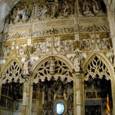
Chapel of the Sacred Corporals
12.6 km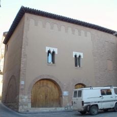
Hospital de Peregrinos
12.8 km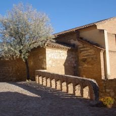
Church of San Juan de la Cuesta, Daroca
12.6 km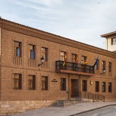
Town hall of Daroca
12.6 km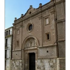
Church of Piarits in Daroca
12.4 km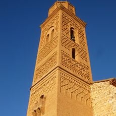
Torre de la iglesia de San Pedro, Romanos
7.9 km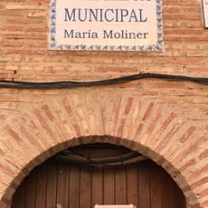
Biblioteca Pública Municipal de Paniza - María Moliner
12.8 km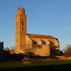
Iglesia de San Pedro, Romanos
7.9 km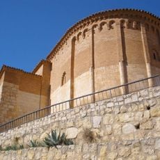
Ábside de San Juan de la Cuesta
12.6 km
Valdemadera
15.7 kmVisited this place? Tap the stars to rate it and share your experience / photos with the community! Try now! You can cancel it anytime.
Discover hidden gems everywhere you go!
From secret cafés to breathtaking viewpoints, skip the crowded tourist spots and find places that match your style. Our app makes it easy with voice search, smart filtering, route optimization, and insider tips from travelers worldwide. Download now for the complete mobile experience.

A unique approach to discovering new places❞
— Le Figaro
All the places worth exploring❞
— France Info
A tailor-made excursion in just a few clicks❞
— 20 Minutes