
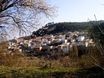
Berninches, municipality of Spain
Location: Guadalajara Province
Capital city: Berninches
Elevation above the sea: 930 m
Part of: Mancomunitat de Municipis de Entrepeñas, Mancomunidad «El Berral»
Shares border with: Alhóndiga, Alocén, Auñón, Fuentelencina, Peñalver, San Andrés del Rey, Budia, El Olivar
Website: http://berninches.com
GPS coordinates: 40.57278,-2.79972
Latest update: March 7, 2025 10:35
Monasterio de Monsalud
14.8 km
Mar de Castilla
8.4 km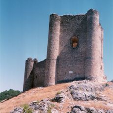
Castle of Anguix
16 km
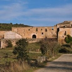
Convento de la Salceda, Peñalver
10.5 km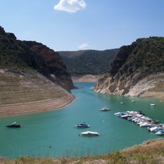
Boca del Infierno
10 km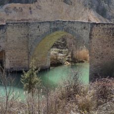
Puente medieval, Auñón
9.6 km
Church of la Inmaculada Concepción
14.6 km
Church of Santa Eulalia de Mérida
7.6 km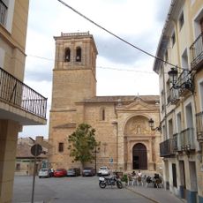
Church of Nuestra Señora de la Asunción
11.7 km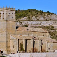
Church of San Juan Bautista
6.3 km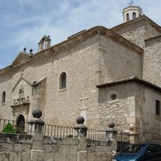
Church of San Pedro Apóstol
7.2 km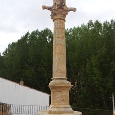
Pillory of Moratilla de los Meleros
14.1 km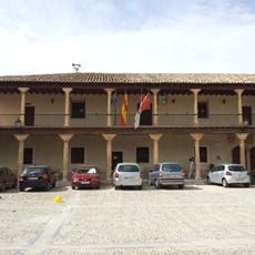
Town hall of Fuentelencina
9.1 km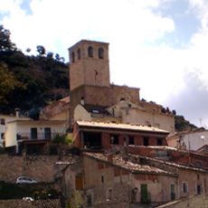
Iglesia de la Asunción, Berninches
154 m
Town hall of Tomellosa
13.8 km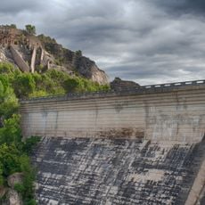
Entrepeñas Dam
9.8 km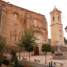
Church of La Asunción
13.8 km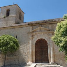
Iglesia de Nuestra Señora de la Zarza, Atanzón
19.8 km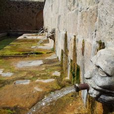
Fuente de Abajo, Fuentelencina
9 km
Church of Nuestra Señora de la Asunción
12.8 km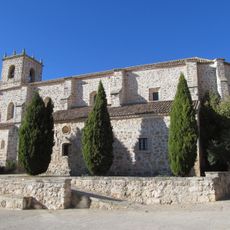
Church of La Asunción
5.7 km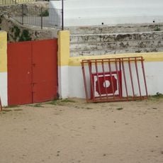
Bullring of Pastrana
19.9 km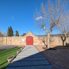
Plaza de toros de Sacedon
11.6 km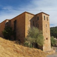
Iglesia de Nuestra Señora de los Huertos, Chillarón del Rey
9.6 km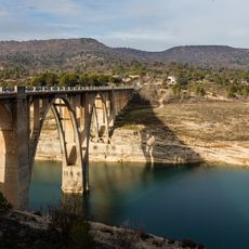
Viaducto de Entrepeñas
7.3 km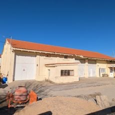
Granero de Sacedón
12 km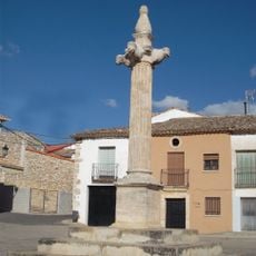
Picota de Valdeavellano
17.6 km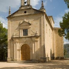
Ermita de Nuestra Señora de la Esperanza
9.7 kmReviews
Visited this place? Tap the stars to rate it and share your experience / photos with the community! Try now! You can cancel it anytime.
Discover hidden gems everywhere you go!
From secret cafés to breathtaking viewpoints, skip the crowded tourist spots and find places that match your style. Our app makes it easy with voice search, smart filtering, route optimization, and insider tips from travelers worldwide. Download now for the complete mobile experience.

A unique approach to discovering new places❞
— Le Figaro
All the places worth exploring❞
— France Info
A tailor-made excursion in just a few clicks❞
— 20 Minutes