
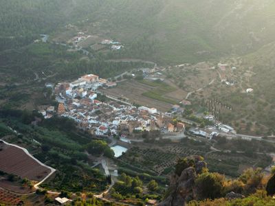
Argelita, municipality of Spain
Location: Alt Millars
Capital city: Argelita
Elevation above the sea: 311 m
Part of: Mancomunitat Espadà-Millars
Shares border with: Fanzara, Lucena del Cid, Ludiente, Toga, Vallat
Phone: +34964612139
Website: http://argelita.es
GPS coordinates: 40.05410,-0.35000
Latest update: March 18, 2025 11:26
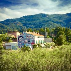
Miau
4.9 km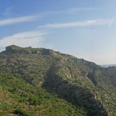
Castell del Bou Negre
2.7 km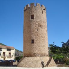
Castle-Plaace of Zayd Abu Zayd
112 m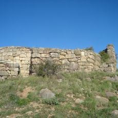
Torre de Foios
9.6 km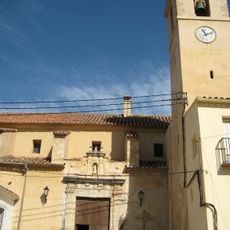
Church of the Assumption, Fanzara
4.9 km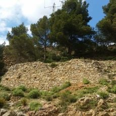
Castillo de Castillo de Villamalefa
9 km
Iglesia Fortificada
4.2 km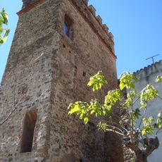
Torre Cuadrada (Argelita)
103 m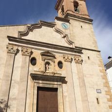
Church of the Nativity, Ludiente
4.1 km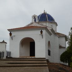
Chapel of the Calvary of Fanzara
4.9 km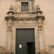
Església de Sant Joan Baptista d'Espadella
3.1 km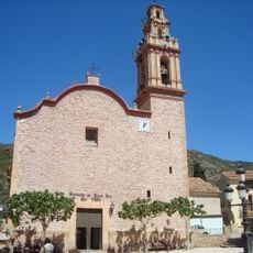
Església parroquial de Santa Anna d'Argeleta
114 m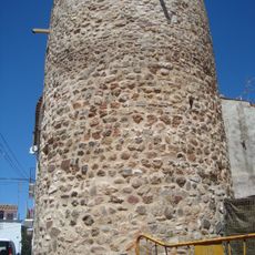
Torre de Torre-xiva
4.2 km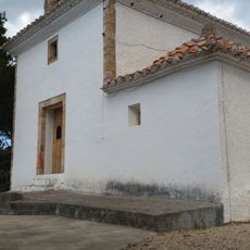
Chapel of the Holy Christ of the Calvary of Castillo de Villamalefa
8.8 km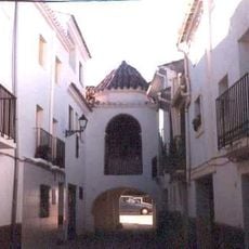
Toga Walls
2 km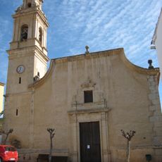
Church of Saint John the Evangelist
2.9 km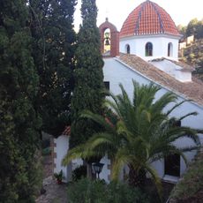
Chapel of Our Lady of El Pilar, Ludiente
4.2 km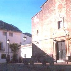
Iglesia de la Purísima Concepción
1.9 km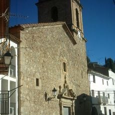
Església de Sant Pere del Castell de Vilamalefa
8.9 km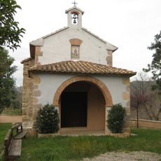
Hermitage of Saint Roch
2.9 km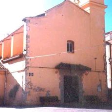
Iglesia de San Roque de Torrechiva
4.1 km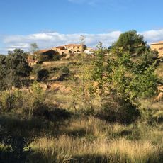
La Ferrerola
6.7 km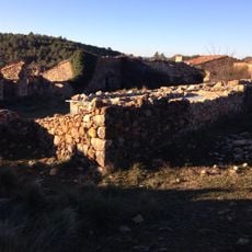
La Granella
6.7 km
Masia de Benachera
6.5 km
Mas de Fuente la Higuera
3.2 km
Mas del Cabezo Royo
6.2 km
El Jaqués
5.1 km
La Puebla
4.2 kmVisited this place? Tap the stars to rate it and share your experience / photos with the community! Try now! You can cancel it anytime.
Discover hidden gems everywhere you go!
From secret cafés to breathtaking viewpoints, skip the crowded tourist spots and find places that match your style. Our app makes it easy with voice search, smart filtering, route optimization, and insider tips from travelers worldwide. Download now for the complete mobile experience.

A unique approach to discovering new places❞
— Le Figaro
All the places worth exploring❞
— France Info
A tailor-made excursion in just a few clicks❞
— 20 Minutes