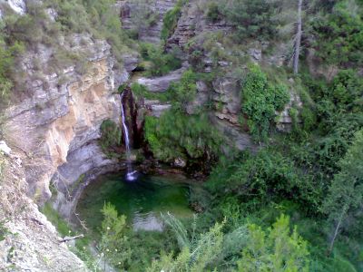
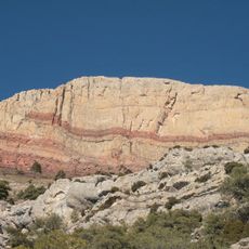
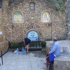
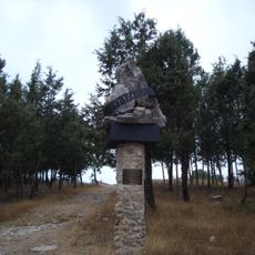
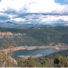
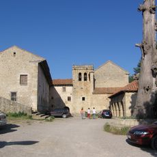
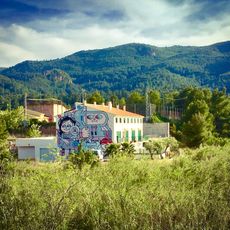
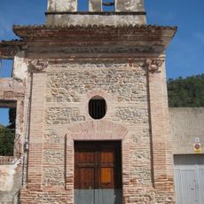
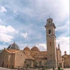
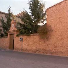
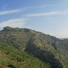
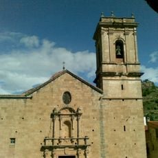
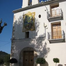
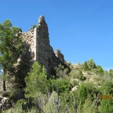
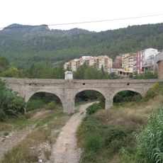
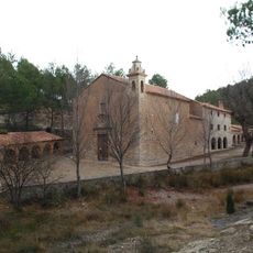
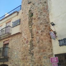
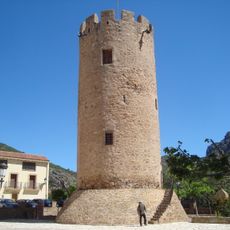
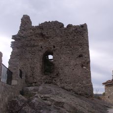
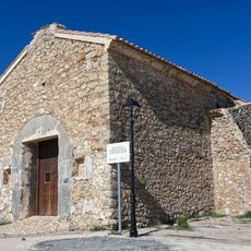
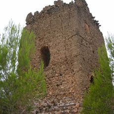
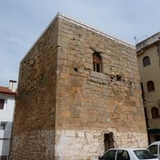
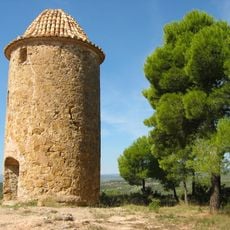
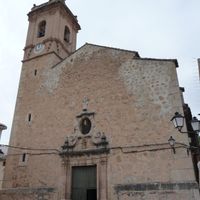
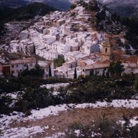
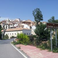
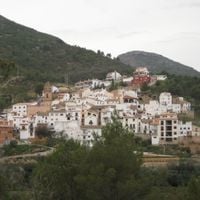
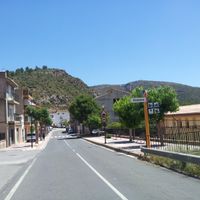
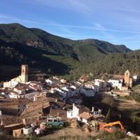
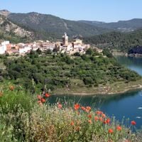
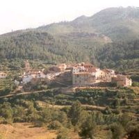
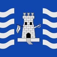
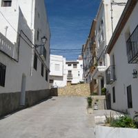
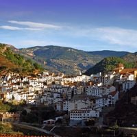
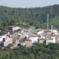
Alt Millars, comarca in Valencian Community, Spain
The community of curious travelers
AroundUs brings together thousands of curated places, local tips, and hidden gems, enriched daily by 60,000 contributors worldwide.
Location
Capital city
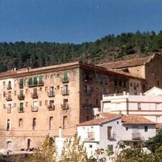
Montán
Shares border with
Alcalatén, Alto Palancia, Plana Baixa
GPS coordinates
40.05528,-0.46333
Latest update
March 16, 2025 21:07