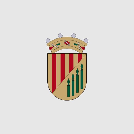
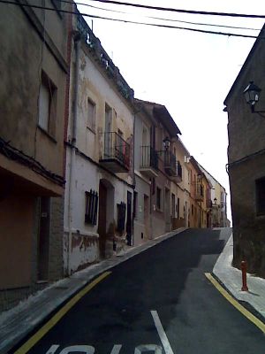
Nàquera, municipality of Spain
Location: Camp de Túria
Capital city: Náquera
Elevation above the sea: 242 m
Shares border with: Albalat dels Tarongers, Bétera, Moncada, Museros, el Puig de Santa Maria, Rafelbunyol, Sagunto, Segart, Serra
Website: https://naquera.es
GPS coordinates: 39.65892,-0.42631
Latest update: March 8, 2025 09:13
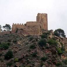
Castell de Serra
2.8 km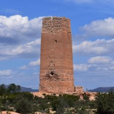
Bofilla
8.8 km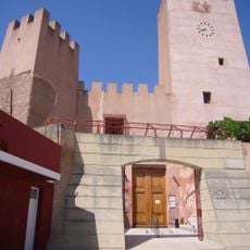
Bétera Castle of the Boil
8.1 km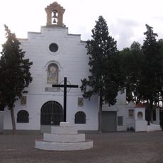
Ermita de la Divina Pastora
8.3 km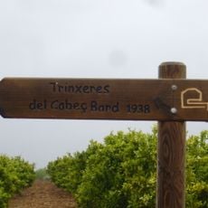
Línia Immediata a València
5.3 km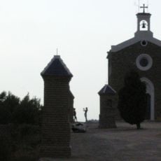
Ermita de Sant Francesc, Nàquera
602 m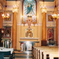
Església de la Immaculada de Segart
5.3 km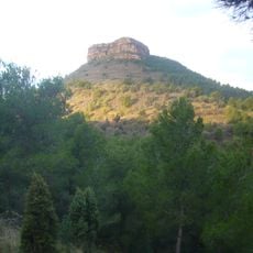
Mola de Segart
4.2 km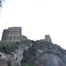
Segart Castle
5.4 km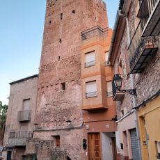
Torre del Senyor de la Vila
2.9 km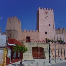
Bétera City Council
8 km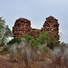
Torre de Satarenya
1.7 km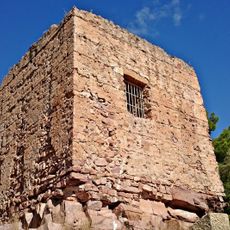
Torre de l'Ermita
3.1 km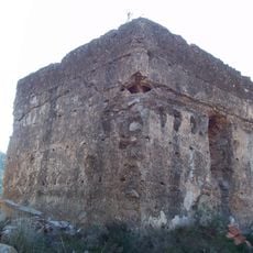
Torre de Ria
3.8 km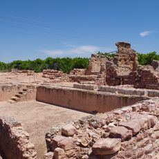
Horta Vella
8.1 km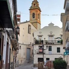
Església de la Mare de Déu dels Àngels de Serra
2.9 km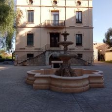
Parque Casa Nebot
8.1 km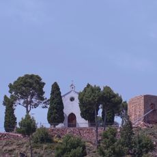
Ermita de San José y Calvario de Serra
3.1 km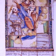
Ceramic panel of Saint Francis of Assisi and Our Lady of the Angels
2.9 km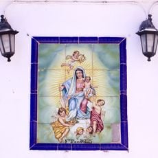
Ceramic panel of Our Lady of the Angels
3 km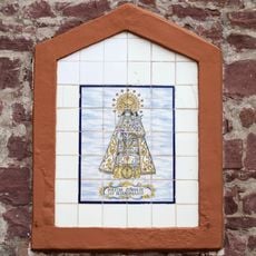
Ceramic panel of the Heart of Jesús
3.1 km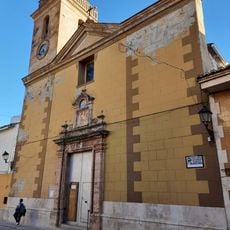
Iglesia parroquial de Nuestra Señora de la Encarnación de Náquera
182 m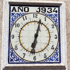
Clock in Serra Parrish Church
2.9 km
Castillo de betera
8 km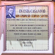
Ceramic panel to Ambrosio Cebrián
2.9 km
Ceramic panel of the Immaculate Conception
8 km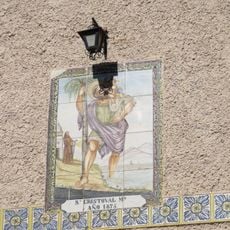
Ceramic panel of Saint Christopher
8 km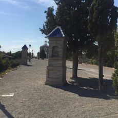
Calvary of the Chapel of Saint Francis of Assisi
636 mVisited this place? Tap the stars to rate it and share your experience / photos with the community! Try now! You can cancel it anytime.
Discover hidden gems everywhere you go!
From secret cafés to breathtaking viewpoints, skip the crowded tourist spots and find places that match your style. Our app makes it easy with voice search, smart filtering, route optimization, and insider tips from travelers worldwide. Download now for the complete mobile experience.

A unique approach to discovering new places❞
— Le Figaro
All the places worth exploring❞
— France Info
A tailor-made excursion in just a few clicks❞
— 20 Minutes
