
Gomesende, municipality of Spain
Location: Ourense
Capital city: Sobrado
Elevation above the sea: 445 m
Part of: Mancomunidade Intermunicipal Voluntaria da Terra de Celanova
Shares border with: Ramirás, Quintela de Leirado, Pontedeva, Cortegada, A Arnoia, Cartelle
GPS coordinates: 42.18778,-8.09917
Latest update: March 3, 2025 12:43

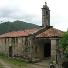
Chapel of San Xes de Francelos, Ribadavia
10.9 km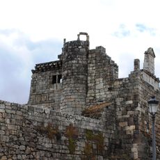
Castillo de Ribadavia
11.6 km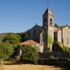
Monastery of Santa María de Melón
12.3 km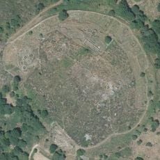
Castro of Castromao
10.5 km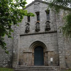
Church of Santo André
13.1 km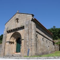
Chapel of Nossa Senhora da Orada (Melgaço)
14.7 km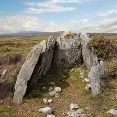
Monumentos Megalíticos e Arte Rupestre do Planalto de Castro Laboreiro
13.7 km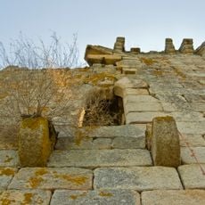
Sande tower
6.4 km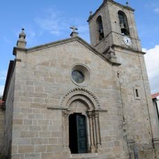
Igreja Paroquial de Melgaço
15.6 km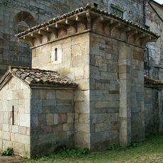
Capela de San Miguel
12.4 km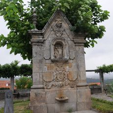
Fountain of São João
15.4 km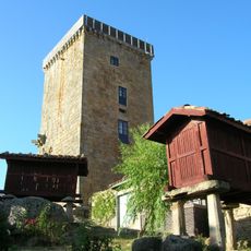
Vilanova dos Infantes tower
12.6 km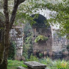
Freixo bridge
10.7 km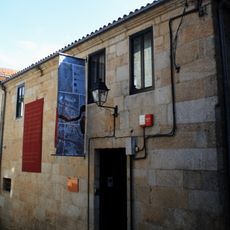
Museo Etnolóxico de Ribadavia
11.8 km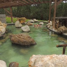
Termas de Prexigueiro
9.3 km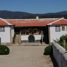
Casa da Quinta da Calçada
15.1 km
Cruzeiro de São Gregório
10.5 km
Penosiños
3.7 km
Cruzeiro de São Julião
15.1 km
Church of San Martiño de Valongo
4.6 km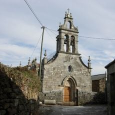
Church of San Xoán de Sadurnín
15.4 km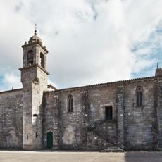
Convento de Santo Domingo
11.6 km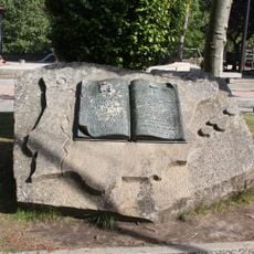
Monument to the Spanish Constitution of 1978
11.5 km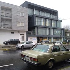
Biblioteca Pública Municipal de A Cañiza
15 km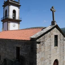
Church of Cristóval
10.6 km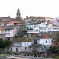
Villa de Ribadavia
11.7 km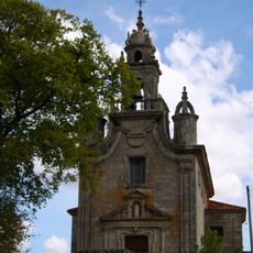
Sanctuary of Virxe do Cristal, Celanova
12.4 km
Fonte da Vila
15.3 kmReviews
Visited this place? Tap the stars to rate it and share your experience / photos with the community! Try now! You can cancel it anytime.
Discover hidden gems everywhere you go!
From secret cafés to breathtaking viewpoints, skip the crowded tourist spots and find places that match your style. Our app makes it easy with voice search, smart filtering, route optimization, and insider tips from travelers worldwide. Download now for the complete mobile experience.

A unique approach to discovering new places❞
— Le Figaro
All the places worth exploring❞
— France Info
A tailor-made excursion in just a few clicks❞
— 20 Minutes