Jarandilla de la Vera

Log in to your account

AroundUs is a community-driven map of interesting places, built by curious explorers like you. It grows with every review, story, and photo you share.
Connect to save your favorite spots, contribute locations, and create personalized routes.
Continue with Google
Continue with Apple
Continue with X
Continue with Facebook
Continue with email
By continuing, you accept our Terms and Conditions and our Privacy Policy
Create an account
Add to collection
Map
Suggest a change
Share

Jarandilla de la Vera, Historical town in La Vera region, Extremadura, Spain

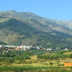
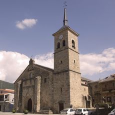
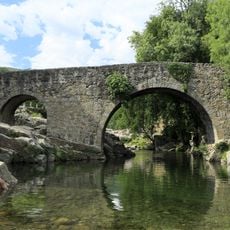
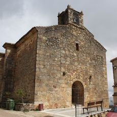
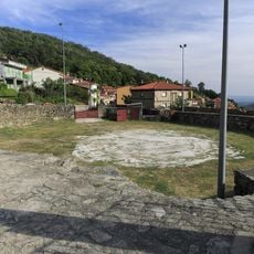
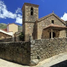
Jarandilla de la Vera is a town in the La Vera region of Extremadura, located on a highland plateau surrounded by green mountains. The settlement preserves medieval architecture and features a landscape of forests and agricultural land that give the area its character.

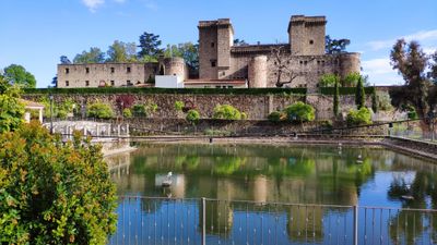
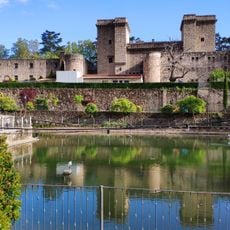
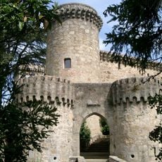
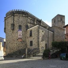
The settlement developed around a 15th-century palace built for the Counts of Oropesa, which shaped its early structure. The town gained temporary prominence when King Carlos V stayed here in 1556 during repairs at the nearby Yuste Monastery.

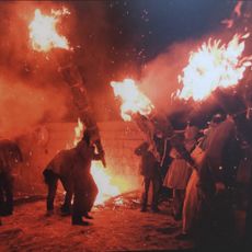
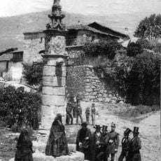
The town hosts traditional celebrations throughout the year, with the December Escobazos festival featuring bonfires and horseback processions that reflect local customs. These events show how the community keeps its heritage alive through seasonal gatherings.

The former castle now operates as a guest accommodation that preserves original medieval features, allowing visitors to stay within the historic structure. Walking paths lead through the surrounding mountains and forests, making exploration on foot straightforward and accessible.

The region produces a distinctive cherry variety called Cereza de la Vera, celebrated through agricultural festivals and local markets throughout the year. This fruit variety plays a central role in the local economy and community pride.

Location: Cáceres Province

Capital city: Jarandilla de la Vera

Elevation above the sea: 585 m

Part of: La Vera

Shares border with: Aldeanueva de la Vera, Guijo de Santa Bárbara, Losar de la Vera, Robledillo de la Vera, Talayuela, Cuacos de Yuste

Website: http://jarandilladelavera.es

GPS coordinates: 40.12694,-5.65833

Latest update: December 20, 2025 15:38

Photos
Reviews

Visited this place? Tap the stars to rate it and share your experience / photos with the community! Try now! You can cancel it anytime.

« Jarandilla de la Vera - Historical town in La Vera region, Extremadura, Spain » is provided by Around Us (aroundus.com). Images and texts are derived from Wikimedia project under a Creative Commons license. You are allowed to copy, distribute, and modify copies of this page, under the conditions set by the license, as long as this note is clearly visible.

Discover hidden gems everywhere you go!

From secret cafés to breathtaking viewpoints, skip the crowded tourist spots and find places that match your style. Our app makes it easy with voice search, smart filtering, route optimization, and insider tips from travelers worldwide. Download now for the complete mobile experience.

Around Us App Screenshot

A unique approach to discovering new places

Le Figaro

All the places worth exploring

France Info

A tailor-made excursion in just a few clicks

20 Minutes