
Cardenete, municipality in Cuenca Province, Castile-La Mancha, Spain
Location: Cuenca Province
Capital city: Cardenete
Elevation above the sea: 966 m
Shares border with: Yémeda, Arguisuelas, Carboneras de Guadazaón, Villar del Humo, Víllora
GPS coordinates: 39.76616,-1.68869
Latest update: March 30, 2025 14:29

Ruins of Moya
34.1 km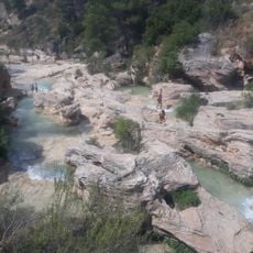
Chorreras del Cabriel
8.8 km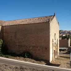
Iglesia Panteón de los Marqueses de Moya
18.6 km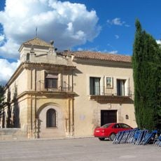
Monasterio de Tejeda
27.3 km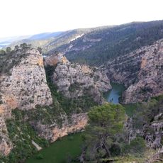
Hoces del río Mira
21.6 km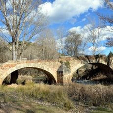
Puente de Cristinas
18.6 km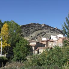
Recinto amurallado de Cañete
31 km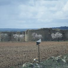
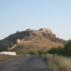
Castle of Cardenete
592 m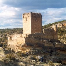
Castle of Paracuellos de la Vega
9.9 km
Santuario de la Virgen de la Loma
19.9 km
Convento de la Concepción Franciscana
34.1 km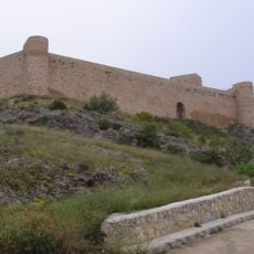
Castillo de Enguídanos
12.3 km
Peña del Escrito
16.8 km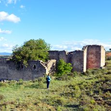
Convento de San Francisco
33.6 km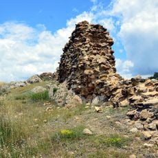
Castle of Algarra
34 km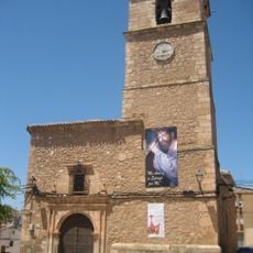
Nuestra Señora de la Asunción Church, Minglanilla
26.9 km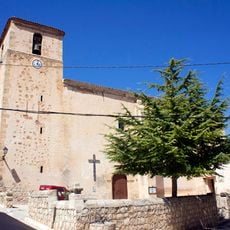
Iglesia de Nuestra Señora de la Asunción
21.9 km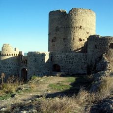
Castillo de los Bobadilla, Moya
34 km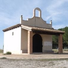
Chapel of Saint Cristopher, Camporrobles
27.8 km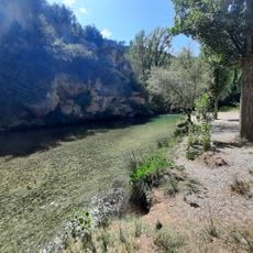
Área recreativa La Playeta de Villora
4.5 km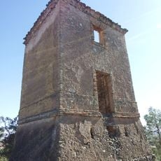
Torre de telegrafía óptica de El Atalayón
27.6 km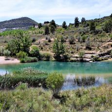
La Playeta
11.7 km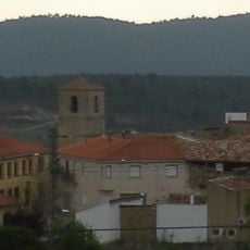
Iglesia de la Asunción
163 m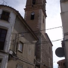
Church of the Assumption
28.2 km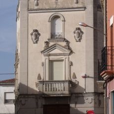
Building at 11 Santiago Apóstol street, Camporrobles
28.2 km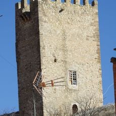
Castle of Víllora
8.9 km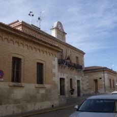
Townhall of Camporrobles
28.1 km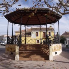
Bandstand of Camporrobles
28.1 kmReviews
Visited this place? Tap the stars to rate it and share your experience / photos with the community! Try now! You can cancel it anytime.
Discover hidden gems everywhere you go!
From secret cafés to breathtaking viewpoints, skip the crowded tourist spots and find places that match your style. Our app makes it easy with voice search, smart filtering, route optimization, and insider tips from travelers worldwide. Download now for the complete mobile experience.

A unique approach to discovering new places❞
— Le Figaro
All the places worth exploring❞
— France Info
A tailor-made excursion in just a few clicks❞
— 20 Minutes