Enable Location

We need your location to show you interesting places around you

Discover nearby places

Find interesting locations and hidden gems around you

Precise directions

Get accurate directions and distances to places

Your location is never shared with other users. It's only used when you tap the location button.

Brunete

Log in to your account

Start exploring — it's free

Trusted by 62,160 travelers worldwide

Continue with Google
Continue with Apple
or

We will send you a code to connect

By continuing, you accept our Terms and Conditions and our Privacy Policy

Check your inbox

We've sent a pincode in your inbox. Please enter the code below.

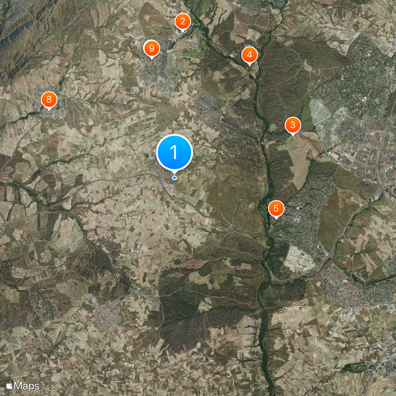
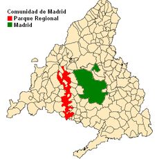
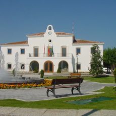
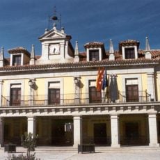
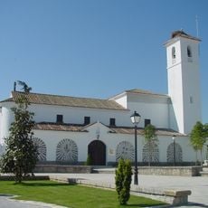
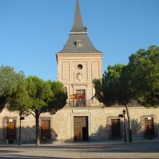
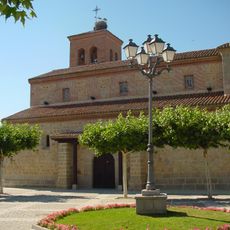
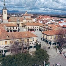
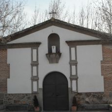
Brunete, Municipality in Community of Madrid, Spain

Brunete sits roughly 28 kilometers west of Madrid across hilly terrain marked by ridges and small waterways. The area rests at an elevation of 656 meters, giving it views over the surrounding landscape.

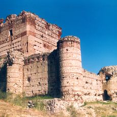
During the Spanish Civil War, the area became a major battlefield in July 1937 when opposing military forces clashed with significant casualties on both sides. This event left a deep mark on the region's past.

The people here gather throughout the year for local celebrations and sports competitions at public spaces scattered across the municipality. These events form the backbone of daily life and connect residents to their community.

The area offers several schools and childcare facilities for residents and visitors, with good transportation links to central Madrid for those who commute regularly. The proximity to the city makes it convenient for daily travel.

In 2013, the local government introduced a program that collects dog waste and returns it to pet owners, significantly reducing litter on public streets. The system encouraged responsible pet ownership throughout the community.

The community of curious travelers

AroundUs brings together thousands of curated places, local tips, and hidden gems, enriched daily by 60,000 contributors worldwide.

Start exploring
Capital city
Brunete
Elevation above the sea
656 m
Part of
Mancomunidad del Sur, Mancomunitat Intermunicipal de Servicios Sociales «La Encina»
Shares border with
Villanueva de la Cañada, Quijorna, Villanueva de Perales, Sevilla la Nueva, Villaviciosa de Odón, Boadilla del Monte
GPS coordinates
40.40000,-3.99361
Latest update
December 20, 2025 14:51
« Brunete - Municipality in Community of Madrid, Spain » is provided by Around Us (aroundus.com). Images and texts are derived from Wikimedia project under a Creative Commons license. You are allowed to copy, distribute, and modify copies of this page, under the conditions set by the license, as long as this note is clearly visible.

Discover hidden gems everywhere you go!

From secret cafés to breathtaking viewpoints, skip the crowded tourist spots and find places that match your style. Our app makes it easy with voice search, smart filtering, route optimization, and insider tips from travelers worldwide. Download now for the complete mobile experience.

Around Us App Screenshot

A unique approach to discovering new places

Le Figaro

All the places worth exploring

France Info

A tailor-made excursion in just a few clicks

20 Minutes

Around Us
Travel Guide & Maps
Download

Send to your phone

QR Code
1

Open the camera app on your mobile.

2

Point at the QR code with your camera. A notification will appear.

3

Tap the notification to open the link.