
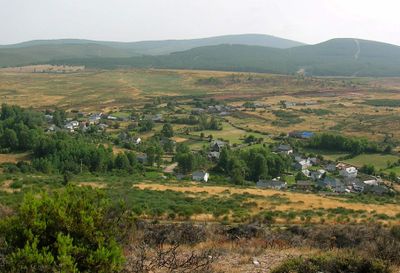
Villagatón, municipality of Spain
Location: León Province
Capital city: Villagatón
Elevation above the sea: 1,013 m
Part of: Mancomunitat La Cepeda
Shares border with: Torre del Bierzo, Igüeña, Valdesamario, Quintana del Castillo, Magaz de Cepeda, Brazuelo
Website: http://villagatones.es
GPS coordinates: 42.63472,-6.16194
Latest update: March 11, 2025 12:38
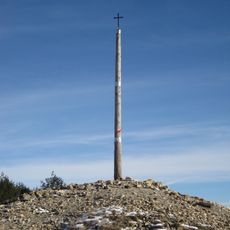
Cruz de Hierro, León
23 km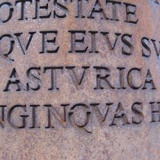
Asturica Augusta
21.2 km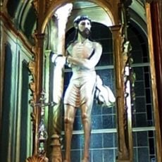
Santo ecce-homo
20.4 km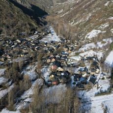
Colinas del Campo de Martín Moro Toledano
18.3 km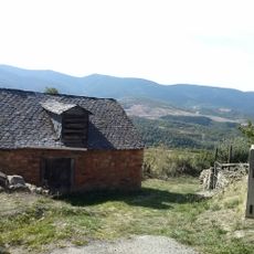
La Cepeda
7 km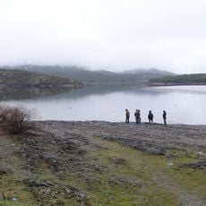
Villameca Reservoir
7.7 km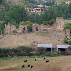
Castle of Benal
20.4 km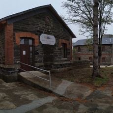
Brañuelas Railway Museum
3.2 km
Museum "Alto Bierzo"
20.9 km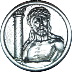
Confraternity of santo ecce-homo
20.5 km
Museum of sacred art of bembibre
20.6 km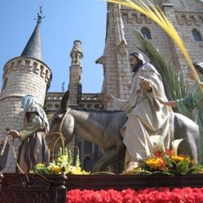
Cofradía de la Entrada de Jesús en Jerusalén
21.2 km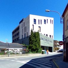
"house of cultures" cultural center
20.9 km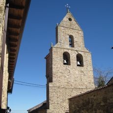
Church of the Assumption, Rabanal del Camino
19.7 km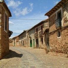
Castrillo de los Polvazares
19.1 km
Church of San Juan de Montealegre
10.7 km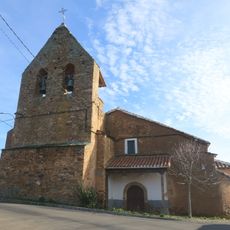
Iglesia de Santiago Apóstol
15.3 km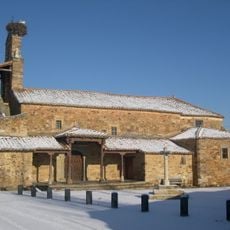
Iglesia de San Esteban
19.9 km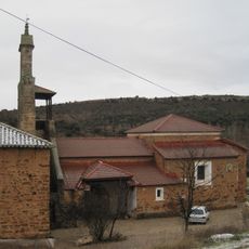
Iglesia de San Martín
16.4 km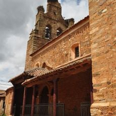
Iglesia de Santa María Magdalena
19.1 km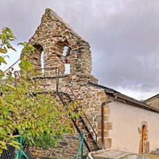
Iglesia de San Miguel
16.2 km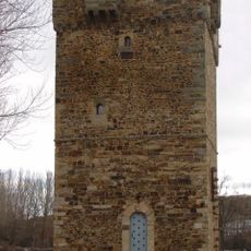
Tower of Turienzo de los Caballeros
22.2 km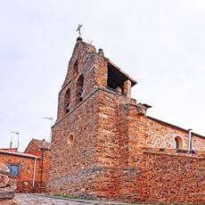
Iglesia de Santa María Magdalena
13.2 km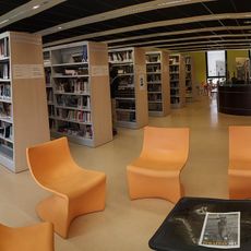
Biblioteca Pública Municipal de Bembibre
20.9 km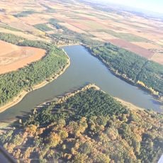
Antoñán del Valle Reservoir
17.9 km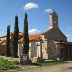
Ermita del Ecce Homo
20.6 km
Montote
16.3 km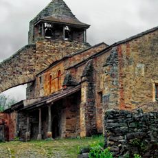
Church of Saint John the Baptist, Turienzo de los Caballeros
22.4 kmReviews
Visited this place? Tap the stars to rate it and share your experience / photos with the community! Try now! You can cancel it anytime.
Discover hidden gems everywhere you go!
From secret cafés to breathtaking viewpoints, skip the crowded tourist spots and find places that match your style. Our app makes it easy with voice search, smart filtering, route optimization, and insider tips from travelers worldwide. Download now for the complete mobile experience.

A unique approach to discovering new places❞
— Le Figaro
All the places worth exploring❞
— France Info
A tailor-made excursion in just a few clicks❞
— 20 Minutes