
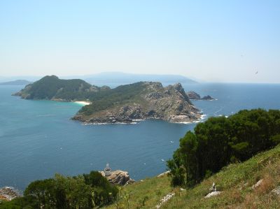
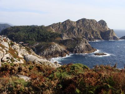
Cíes Islands, Protected island group in Vigo, Spain.
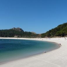
Three islands form this archipelago at the mouth of Ria de Vigo, featuring steep granite cliffs, white sand beaches, and clear waters.
The islands received protection status as a Nature Reserve in 1980 before gaining National Park designation within Atlantic Islands of Galicia in 2002.
Maritime traditions of Galicia shape the character of these islands, where fishing practices and marine activities influence local customs and gastronomy.
Access to the islands requires a ferry from Vigo or Baiona, with services operating primarily between spring and autumn seasons.
The islands contain the Rodas Beach, a 1200-meter stretch of sand connecting Monteagudo and Do Faro islands.
Location: Vigo
Inception: 2004
Capital city: Vigo
Elevation above the sea: 197 m
Website: https://hoxe.vigo.org/conecenos/cies.php?lang=gal
GPS coordinates: 42.23333,-8.90000
Latest update: May 28, 2025 18:13
These beaches in Europe are located away from main routes. The locations include coves with cliff walls, sand beaches in nature reserves, and coastal sections with specific geological formations.
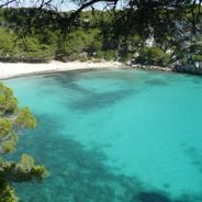
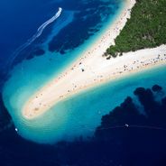
Spain has more than 8,000 kilometers of coastlines home to hundreds of beaches with diverse characteristics. The Mediterranean, Atlantic, Balearic Islands, and Canary Islands feature contrasting marine scenery: coves sheltered between cliffs, extensive sandy areas, urban beaches, and protected natural zones. Each coastal region has developed its own identity influenced by local geology and climate. The Balearic Islands include bays like Cala Macarella in Menorca or Ses Illetes in Formentera, where white sand contrasts with clear Mediterranean waters. The Canary Islands display volcanic landscapes, with the Maspalomas dunes on Gran Canaria stretching over 6 kilometers, or Lanzarote’s red cliffs framing Playa del Papagayo. Along the Andalusian coast, the Cabo de Gata Natural Park houses Mónsul Beach with its black volcanic formations, while Bolonia near Tarifa features a 4-kilometer-long beach with Roman remains. The northern coast presents a different scene: La Concha urban beach in San Sebastián forms a 1.5-kilometer arc, the limestone cliffs of Asturias protect Playa del Silencio, and the Cíes Islands in Galicia are part of a marine national park.
Playa de Rodas
843 m
Cruceiro do Hío
7.1 km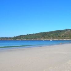
Beach of Barra
5.1 km
A Area Pequena
2.4 km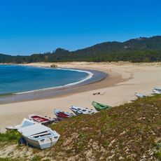
Praia da Folla de Nerga
6 km
Beacon of Home cape
3.1 km
Monte del Faro (Islas Cíes)
2.3 km
Baliza de Monte Agudo
0 m
Beacon of Punta Canabal
2.5 km
Beacon of Punta Subrido
3.3 km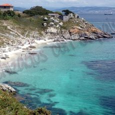
Nosa Señora
1.9 km
Praíña do Peirao
7.8 km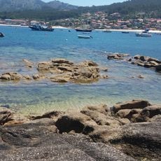
Praia da Testada
7.8 km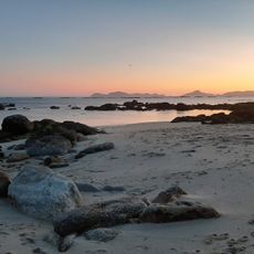
Praia dos Castros
6.3 km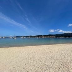
Praia de Arneles
7.6 km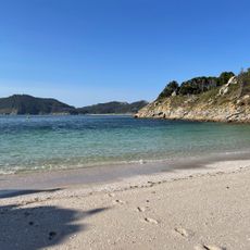
A Area dos Bólos
1.8 km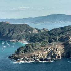
San Martiño
3.5 km
Biblioteca Pública Municipal de Hío
7.3 km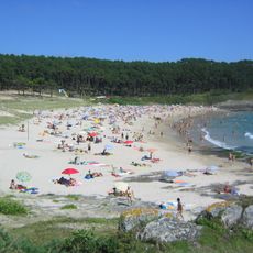
Playa Milide
3.4 km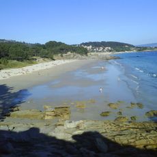
Viñó
5.5 km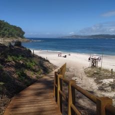
A Area das Figueiras
251 m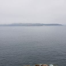
Praia dos Freixeiros
0 m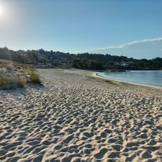
Liméns
7.7 km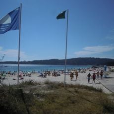
Nerga
5.8 km
Castro of O Facho
5.8 km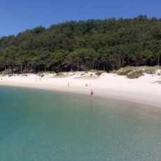
Rodas
1.6 km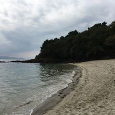
Das Moscas
6.5 km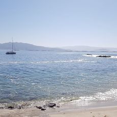
A Area das Moscas
6.8 kmReviews
Visited this place? Tap the stars to rate it and share your experience / photos with the community! Try now! You can cancel it anytime.
Discover hidden gems everywhere you go!
From secret cafés to breathtaking viewpoints, skip the crowded tourist spots and find places that match your style. Our app makes it easy with voice search, smart filtering, route optimization, and insider tips from travelers worldwide. Download now for the complete mobile experience.

A unique approach to discovering new places❞
— Le Figaro
All the places worth exploring❞
— France Info
A tailor-made excursion in just a few clicks❞
— 20 Minutes