
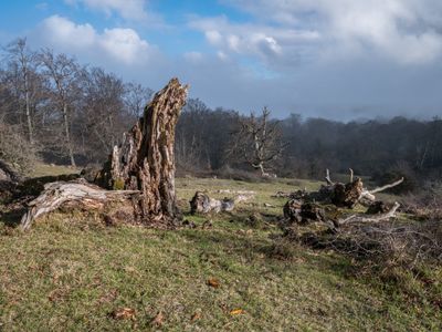
Iturrieta, human settlement in Salvatierra/Agurain, Araba / Álava, Basque Country, Spain
Location: Agurain/Salvatierra
Location: Parzonería de Encía
GPS coordinates: 42.79333,-2.34444
Latest update: April 16, 2025 04:54
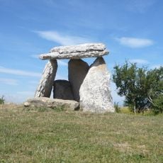
Sorginetxe
4.9 km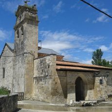
Church of Asunción
6.6 km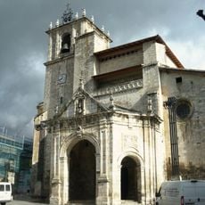
Church of San Juan
7.3 km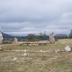
Crómlech de Mendiluze
7 km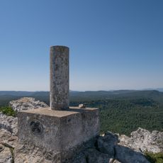
San Román
6.3 km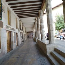
Olbeak of Salvatierra-Agurain
7.3 km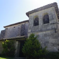
Iglesia de San Esteban
3.5 km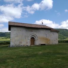
Andra Mari tenplua (Uribarri Harana)
4.1 km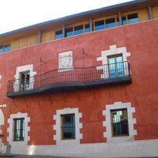
Town hall of Salvatierra-Agurain
7.4 km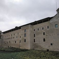
San Pedro convent
7.4 km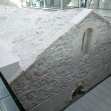
Chapel inside the town hall
7.4 km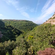
Igoroingo sakana
6.6 km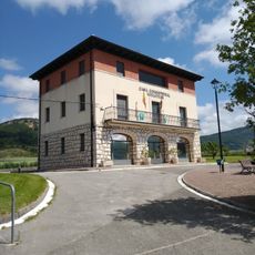
Casa consistorial del Valle de Arana
4.5 km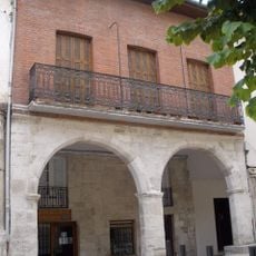
Casa Plaza De San Juan 7
7.3 km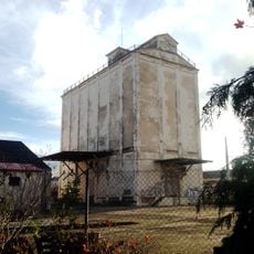
Silo de Salvatierra-Agurain II
6.9 km
Casa Mayor 8
7.3 km
Casa Zapatari 7
7.3 km
Casa Zapatari 11
7.3 km
Casa Zapatari 13
7.3 km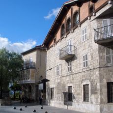
Casa Portal Del Rey 2
7.2 km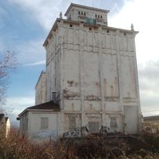
Silo de Salvatierra-Agurain
7 km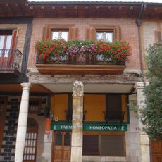
Casa Plaza De San Juan 4
7.3 km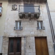
Casa Mayor 10
7.3 km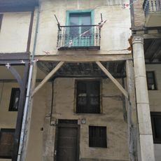
Casa Zapatari 9
7.3 km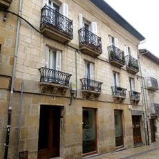
Casas De Vecindad
7.2 km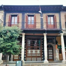
Casa Plaza De San Juan 3
7.3 km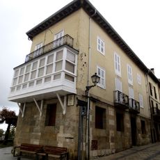
Casa Portal Del Rey 1
7.2 km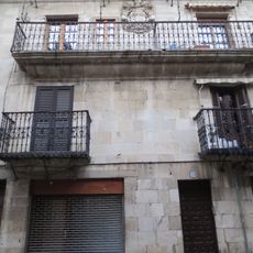
Casa Mayor 28
7.4 kmReviews
Visited this place? Tap the stars to rate it and share your experience / photos with the community! Try now! You can cancel it anytime.
Discover hidden gems everywhere you go!
From secret cafés to breathtaking viewpoints, skip the crowded tourist spots and find places that match your style. Our app makes it easy with voice search, smart filtering, route optimization, and insider tips from travelers worldwide. Download now for the complete mobile experience.

A unique approach to discovering new places❞
— Le Figaro
All the places worth exploring❞
— France Info
A tailor-made excursion in just a few clicks❞
— 20 Minutes