Enable Location

We need your location to show you interesting places around you

Discover nearby places

Find interesting locations and hidden gems around you

Precise directions

Get accurate directions and distances to places

Your location is never shared with other users. It's only used when you tap the location button.

Agurain/Salvatierra

Log in to your account

Start exploring — it's free

Trusted by 63,756 travelers worldwide

Continue with Google
Continue with Apple
or

We will send you a code to connect

By continuing, you accept our Terms and Conditions and our Privacy Policy

Check your inbox

We've sent a pincode in your inbox. Please enter the code below.

Discussion Reviews 1 Photos
24.6k Popularity

Agurain/Salvatierra, Municipality in Álava, Spain.

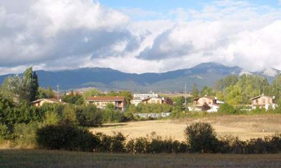
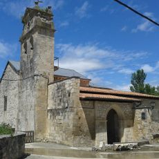
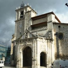
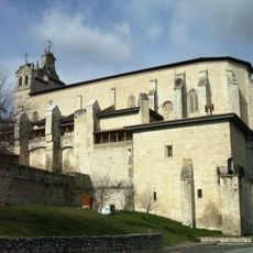
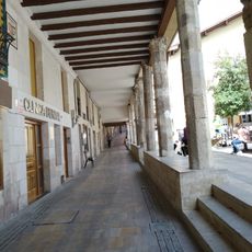
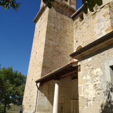
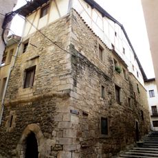
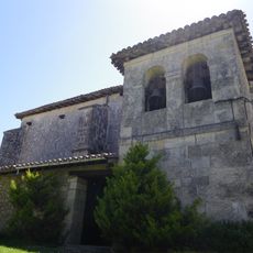
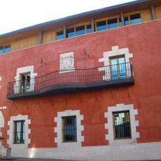
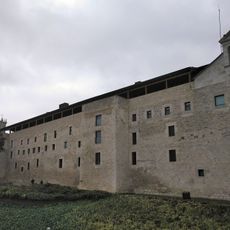
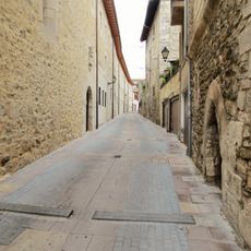
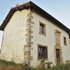
Agurain/Salvatierra is a municipality in Álava, Spain, positioned at about 605 meters elevation within gently rolling farmland in the Basque region. Two large fortified churches define its medieval character and mark the original urban boundaries of the settlement.

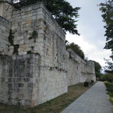
King Alfonso X founded the settlement in 1256 as a strategic stronghold near the Kingdom of Navarre, building defensive walls and fortified churches for protection. This establishment reflects medieval border control strategies in the region.

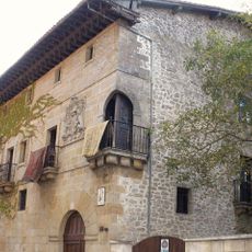
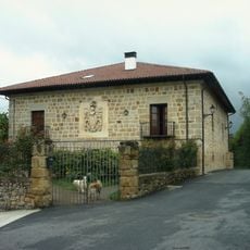
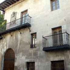
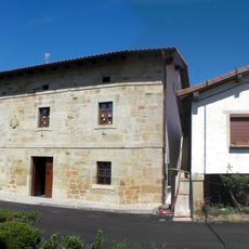
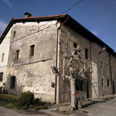
The town reflects the blend of Spanish and Basque traditions visible in everyday local life, where both languages coexist naturally in signs and community gatherings. This dual identity shapes how residents experience and express their connection to the place.

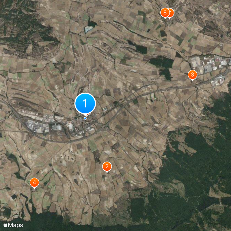
The town connects easily to larger Spanish cities via the N-1/E-5 highway and the Northern Railway line that passes through the region. Most visitor areas are accessible on foot, with clear paths linking the two main churches and town center.

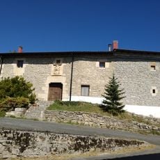
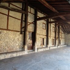
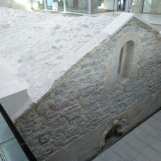
The two fortified churches were deliberately positioned at the northern and southern boundaries of the town, representing a rare example of planned 13th-century urban design. This layout shows how medieval churches served multiple roles beyond the religious, functioning as urban anchors and defensive structures.

The community of curious travelers

AroundUs brings together thousands of curated places, local tips, and hidden gems, enriched daily by 60,000 contributors worldwide.

Start exploring
Location
Inception
1256
Elevation above the sea
605 m
Shares border with
Arraia-Maeztu, Asparrena, Iruraiz-Gauna, Barrundia, San Millán-Donemiliaga
GPS coordinates
42.84929,-2.38905
Latest update
December 20, 2025 12:22
Reviews
Share your experience

No review yet

Discussions
Start a discussion...

No discussion yet

« Agurain/Salvatierra - Municipality in Álava, Spain » is provided by Around Us (aroundus.com). Images and texts are derived from Wikimedia project under a Creative Commons license. You are allowed to copy, distribute, and modify copies of this page, under the conditions set by the license, as long as this note is clearly visible.

Discover hidden gems everywhere you go!

From secret cafés to breathtaking viewpoints, skip the crowded tourist spots and find places that match your style. Our app makes it easy with voice search, smart filtering, route optimization, and insider tips from travelers worldwide. Download now for the complete mobile experience.

Around Us App Screenshot

A unique approach to discovering new places

Le Figaro

All the places worth exploring

France Info

A tailor-made excursion in just a few clicks

20 Minutes

Around Us
Travel Guide & Maps
Download

Send to your phone

QR Code
1

Open the camera app on your mobile.

2

Point at the QR code with your camera. A notification will appear.

3

Tap the notification to open the link.